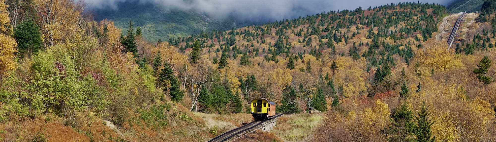
Day 5: Redwoods and Monterey

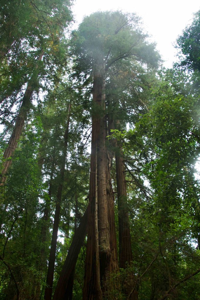
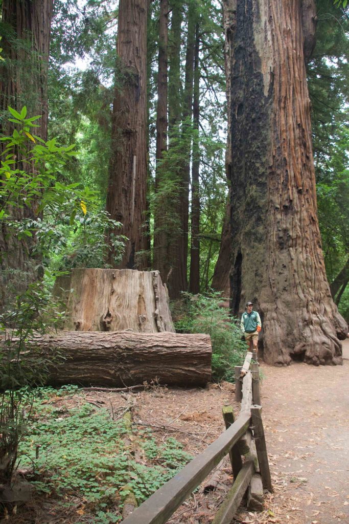
We left Santa Cruz this morning to travel down to Monterey. Along the way, we stopped in the Henry Cowell Redwoods State Park.

The redwoods were immense, as expected. One goes there, expecting them to be huge, but still, the visceral impact of these huge trees is unexpected.
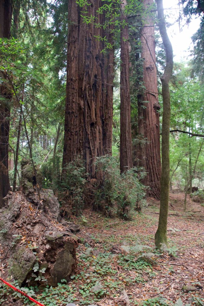
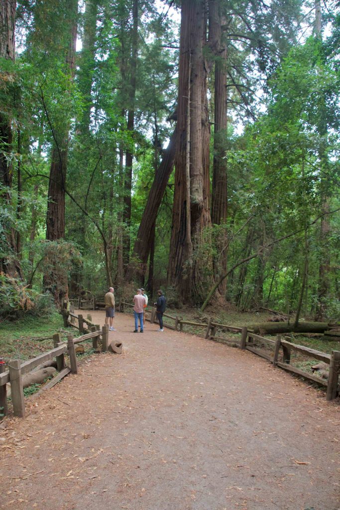
We first did a short loop through the state park, the various landmarks marked out by numbers corresponding to notes in a printed guide. Then we took a longer hike through a nearby forest, ending up by an abandoned limestone quarry.

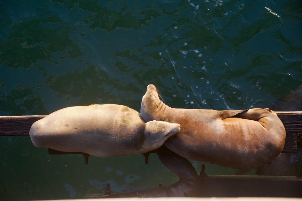
Once we were through, we headed down to Monterey. The land got flatter, and much more agricultural. We passed fields and fields of crops. We stopped in the city of Montery; while the others had lunch, I wandered around a bit, and walked down to the wharf, where again, I saw several sea lions.

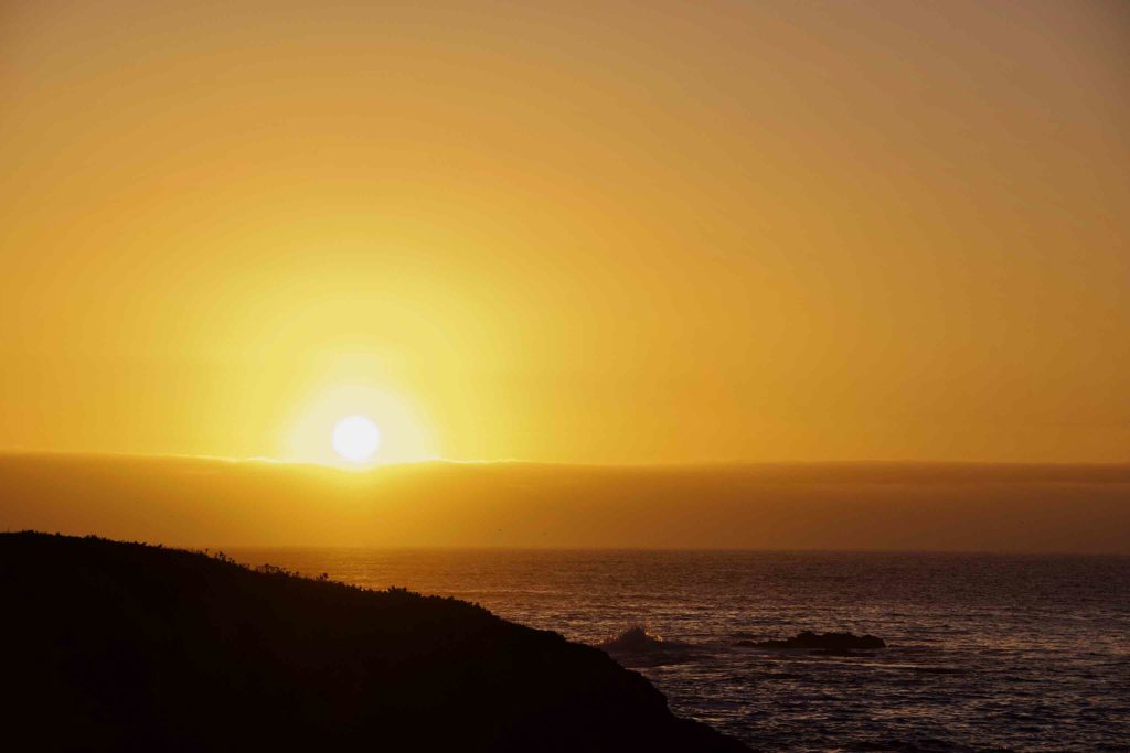
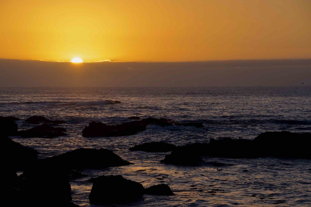
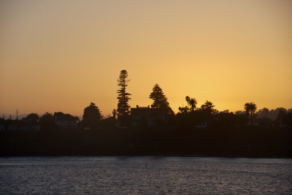
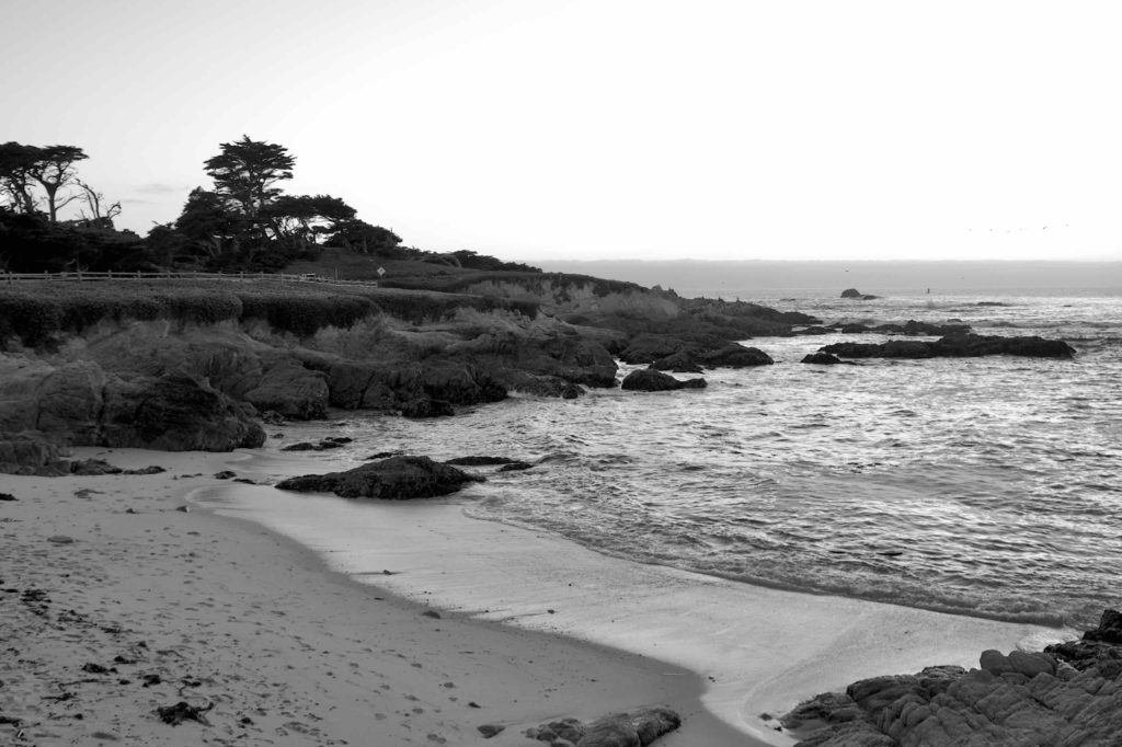
After doing a brief errand, we headed to the Air BnB. It’s quite nice; it’s faux rustic. From the outside it looks like a small shack, but it’s actually a couple of stories tall with several bedrooms and bathrooms and complete facilities. We’ll be based here for the rest of the trip. After a couple of hours of downtime, we headed back out for the sunset. We’ve all noticed that sunsets here are not as reddish as back east. My theory is that the Northeast is sort of the tailpipe of North America and we’re more apt to have dust and small particulates in the air, scattering the red light, while here, the air is coming off the Pacific. Nonetheless, it was still pretty.
Day 4 – Traveling to Santa Cruz

We spent Tuesday going down the coast from Pacifica to Santa Cruz. We stopped briefly at Half Moon Bay for a short ramble, took a detour to Cupertino to see the Apple Headquarters, went scootering in San Jose, got to see Tom’s place, then ended up in Santa Cruz for the end of the day.

We headed out of Pacifica, and started south. We took a side stop at Half Moon Bay, where there are walking paths through some woods and fields to the ocean.

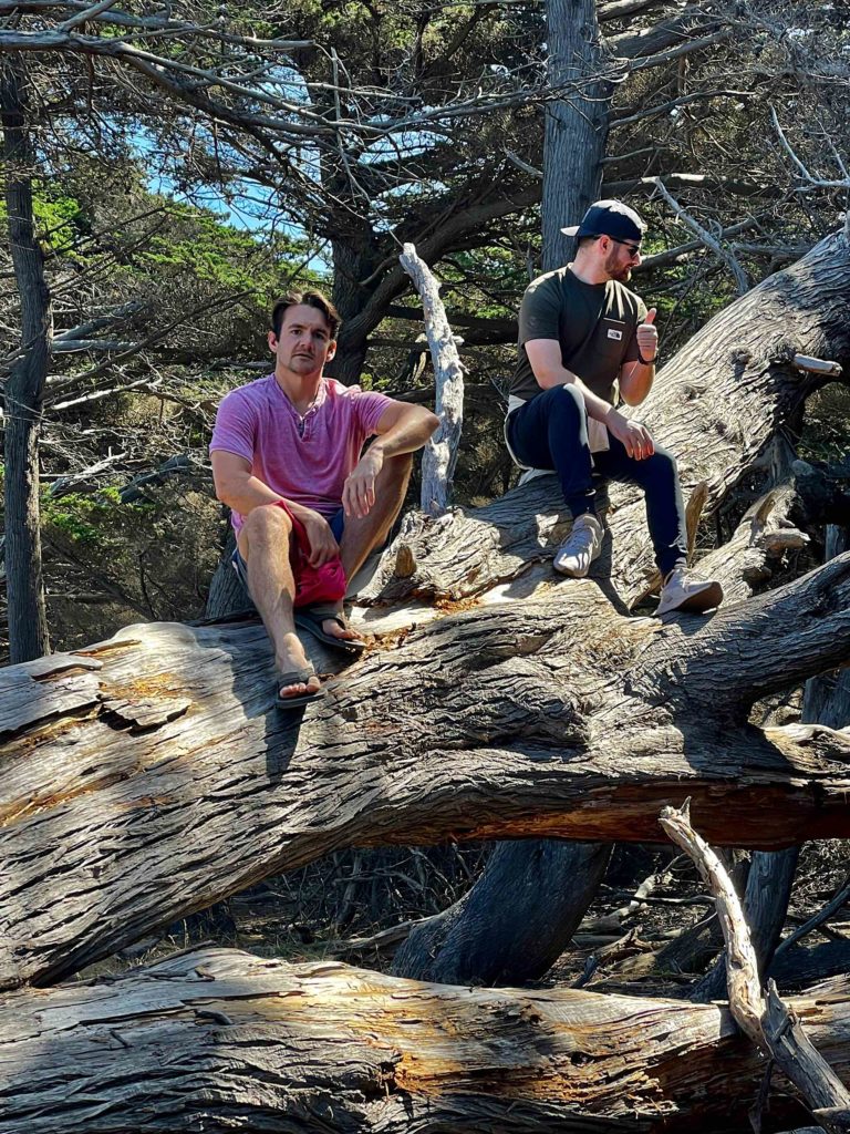
Mike and Matt in Half Moon Bay

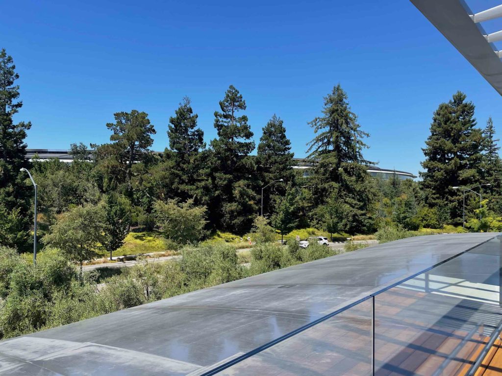
Next stop was Apple Park in Cupertino. You can’t actually go into the Ring Building, but they have a Visitor Center where you can sort of see the Ring Building — enough to get a sense of the scale of it. It’s huge. The Visitor Center also has a diorama of the campus, and they have a virtual display with iPads showing a VR view of the various buildings. The top story is a really nice outdoor viewing area.

Apple Park's Ring Building seen from the visitor center.
Apple Park’s Ring Building seen from the visitor center.

Typical Apple, the bathrooms in the visitor center are impeccably clean, sleek, and premium feeling, and you have to look carefully to figure out how to flush the damned toilet.

From Cupertino, it was a short trip to San Jose, where Brian wanted to give scootering a try. It didn’t last long; we scootering on the margins of the streets and the park, the park was full of homeless people.

From there, we stopped at Tom’s place. It was nice to get a sense of where he lives. We then checked in, and then headed for the coast.

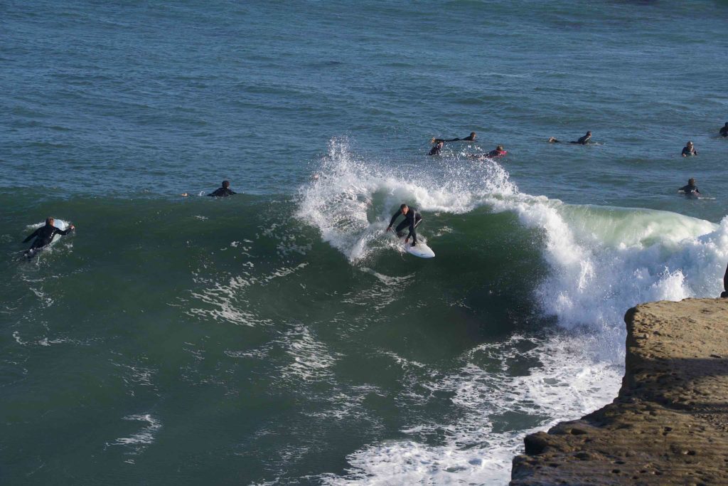
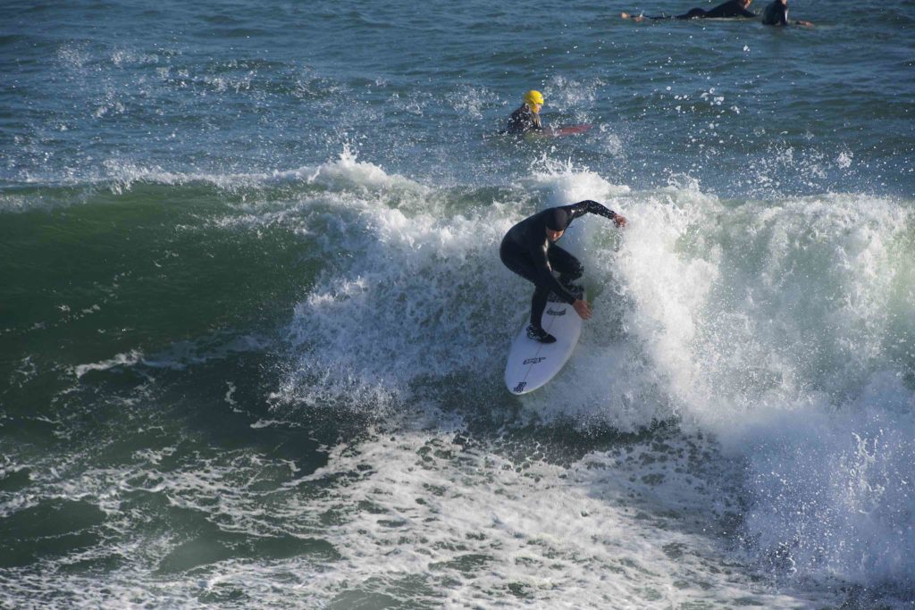
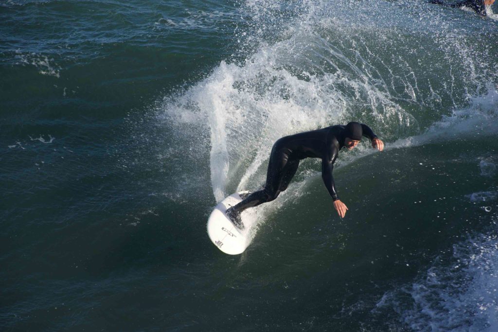
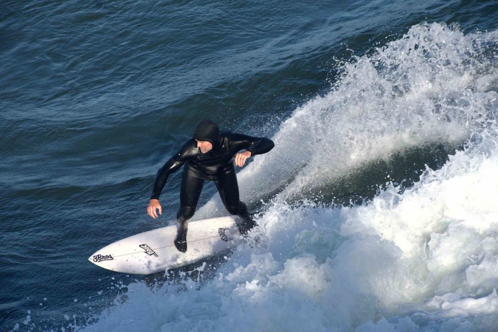
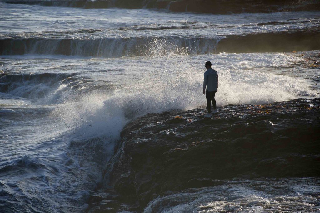
Santa Cruz is sort of a coastal resort. There’s a big wharf, an amusement park, and it has the vibe of a blue-ish collar vacation town. Our first stop was Lighthouse Point, where there were a ton of surfers in the crashing waves. They were flying past the rocky point; it was amazing how good they were.

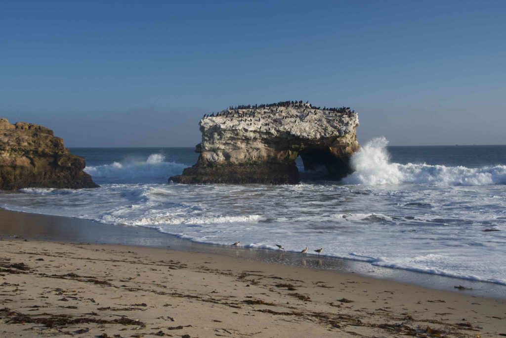
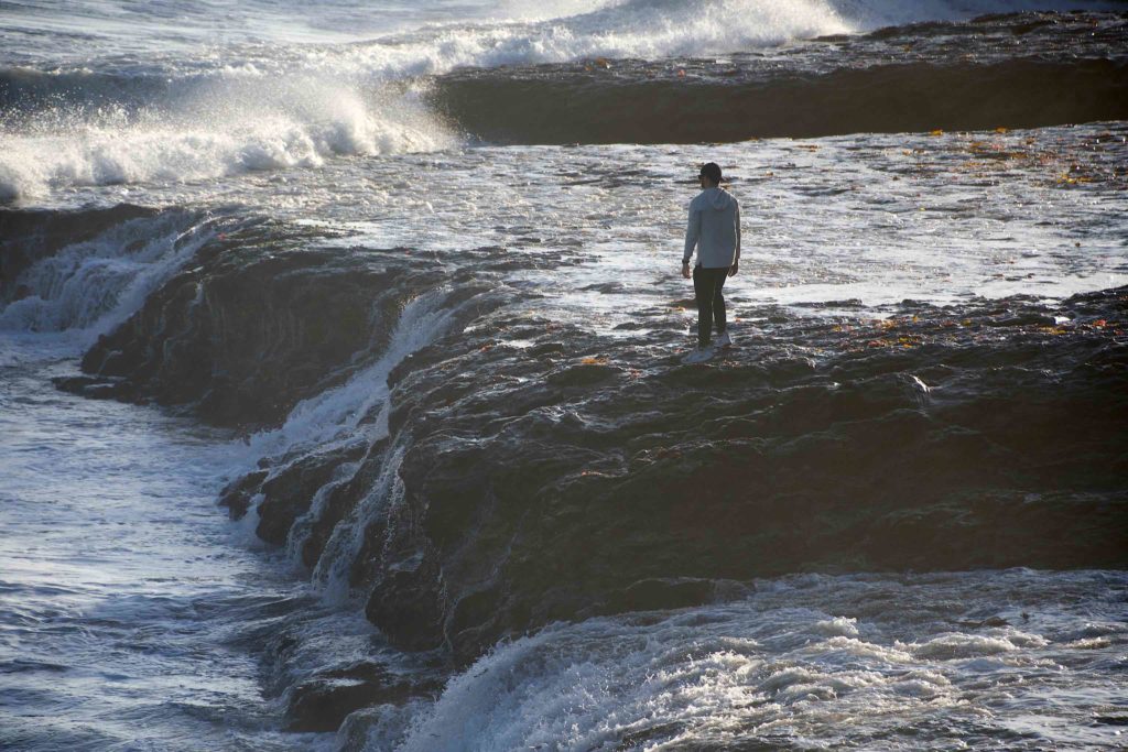
After watching the surfers for awhile, we then moved up the coast to the Natural Bridge beach. It’s small cove with a natural arch formation, and on the other side, some rock formations that the guys went climbing over

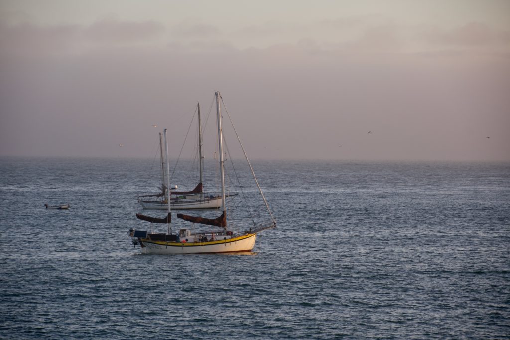
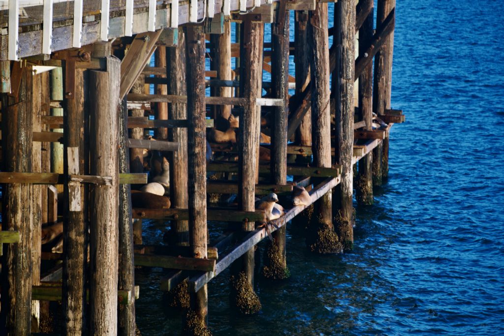
Our last stop was the Santa Cruz Wharf. This is a very long wharf jutting out about half a mile south into the Pacific. It has a bunch of touristy retail and restaurants on it. As I approached the end, I could hear sea lions barking — they were on the piles supporting the wharf. It was near sunset, so I got some sunset pictures, both of the sky, and of some boats anchored nearby. As dusk deepened, the lights came on at the amusement park across the water.

San Francisco, Day 3

This morning was another foggy morning. Actually, that’s an understatement; it was more of a heavy mist when we went down to the coffee spot by the beach.

The fog and moisture ruled out the hike Mike and Brian wanted to do, so we decided to see Fisherman’s Pier in San Francisco.

The pier reminded me very much of Chatham or Provincetown, in that there is a lot of retail aimed at the tourist. There’s a wax museum, which we didn’t have time to see, and a ton of restaurants.

The pier faces to the North into San Francisco Bay; you can look to the North to Alcatraz, or to the East to the Oakland Bay Bridge. The road bordering the Pier has a historic streetcar line running PCC cars in historic livery. On one of the wharves, sea lions haul out of the water and sun themselves. Pelican are overhead and perched on the docks, and there’s a World War II submarine, the USS Pampanito, there.

The fog burned off briefly while we were there; by the time we’d had lunch, the sky had cleared, leaving a line of low clouds on the horizon.

We didn’t have much time to explore any of the shops or museums because we had reservations to go on a Segway tour of Golden Gate Park at two. Riding the Segway was cool, although I did have a spill once when I had trouble steering it, and by the time we were done, my feet were killing me. You’re basically just standing on it, not moving your feet, and I brought the wrong pair of sneakers out with me, so they have very little resilience left.

Golden Gate park itself is very cool — lots of different kinds of botanical displays, a Ferris wheel, a band stand, and an art museum. It’s also very very large. You could easily spend days here, exploring. As it was we got an overview of the whole thing. We weren’t able to take pictures during the tour, so I had to content myself with some pictures when the other guys first tried it out, and a picture at one of our brief stops, and an overview picture when we were done.

After we were done, we headed for the Beach Chalet, a restaurant across from the beach on the western side of San Francisco. The service was great, and we had great view of sunset.

San Francisco, Day 2

Today dawned foggy. A thick pea fog, with only a hundred feet or so of visibility. Here in Pacifica, it was foggy around 8 when we did a coffee run, but had burned off by 10 or so when we decided to head into San Francisco to get a closer look at the Golden Gate Bridge.

As we got closer to the bridge, though, the fog closed in again. By the time we got to the bridge overlook, the fog was blowing hard, and you could only see the first hundred feet or so of it.

Fog blowing around the Golden Gate Bridge.

With the bridge invisible, it didn’t make much sense to hang around, so Tom suggested we visit the Point Bonita Lighthouse.

The lighthouse is on a small craggy island, connected to another craggy cliff by a pedestrian suspension bridge. To get to it, you walk along a path, past rocky outcrops, and through a hand-hewn tunnel through a tall cliff.

Walking there in the fog, I was struck by the sounds — the crash of the surf, and the foghorns in the distance. There were cormorants on the rocks surrounding the lighthouse.

After the lighthouse, we wanted to visit Muir Woods, but as we started to get close, we realized reservations were needed for admission — and we didn’t have one. So we turned around, and visited the Sausalito Harbor. By this time the fog had burned off, and it was bright and sunny. The harbor is very pretty, and there are a ton of shops and restaurants along the waterfront.

After lunch, we wanted to see if the fog had burned off at the Golden Gate, but no luck. It was definitely less foggy than the morning, but visibility was pretty poor, so we decided to skip it.

The one thing Matt really wanted to do today was watch the Florida State football game, so we headed back to Pacifica. Matt got settled in for the game, and Tom ran some errands. Once he got back, Mike, Brian, Tom and I headed over to nearby Rockaway Beach for sunset. There was a big cliff next to the beach, and we climbed up to get a better view.

Despite the treacherous footing, the view was awesome. Once the sun set, I looked back to the east, where I could see the fog clouds once again start to flow over the mountains.

San Francisco, Day 1

I flew out of Boston this morning with my brother Brian and his two sons Matt and Michael to meet my other brother, Tom, in San Francisco. We’ll be here in San Francisco for three days, then shift south down the coast to wind up in Monterey.

The flight to San Francisco was long but uneventful. We ended up having to check our baggage, but baggage pickup was easy; the luggage was already on the carousel by the time we got there.

Once Tom arrived, we headed into the city. First stop: lunch. Locally, it was around noon, but for our stomachs, it was 2-ish, and we’d had breakfast around five. After lunch, we decided to head for Coit Tower, a big concrete tower on top a high hill.

My god, the hills. The hills are so steep around here. It’s like a bunch of natural roller coasters. We walked up a super steep hill to the base of the Coit Tower, and then climbed the thirteen stories (243 steps) to the top. The view was worth it, though. From one side, you could see the TransAmerica Pyramid; on another the Oakland Bridge, on another the Bay, on another Alcatraz Island, and in the distance, the Golden Gate Bridge.

After Coit Tower, we walked a few blocks to see the cable cars. The tracks have a slot running between them and the moving cable is running under the street. The car sends a grip down into the slot; and the grip grabs hold of the moving cable. To stop, the operator opens the grip. You can actually hear the cable running under the street. We saw a couple of cable cards, and got to ride one for a few blocks.

Cable Car

Once we got off the cable car, we walked through Chinatown, where they were having a car show of antique cars. There were cars from the 40s and 50s, as well as a bunch of Lamborghinis and Ferraris.

From there, we went back to the car. We were going to see Lombard Street, “The Curviest Street in the World”, but got stuck in traffic trying to get onto it, so we decided it wasn’t worth the wait. So instead, Brian, Tom and the boys decided to hit a couple of bars, and then head down to Pacifica where the rental house is. Along the way, we wound up getting on the Golden Gate Bridge by accident. It’s impressive, and we’ll get a better look at it tomorrow. From there, we headed to the rental house, which is really nice. Five bedrooms and a hot tub, way up in the hills.

Making of a Christmas Card, 2022

I really had no idea what I was going to do about a Christmas card this year, or even if I wanted to do one. I have less free time this year, and I wasn’t really feeling it. There is a big part of me that wanted to do a jump cut to February.

Still, a tradition is a tradition, and so, at the beginning of the month, I was wracking my brain trying to come up with an idea. I didn’t get as frantic as I did in 2013 — I have more confidence in myself now that I’ll figure out something — but I was definitely feeling bereft of ideas.

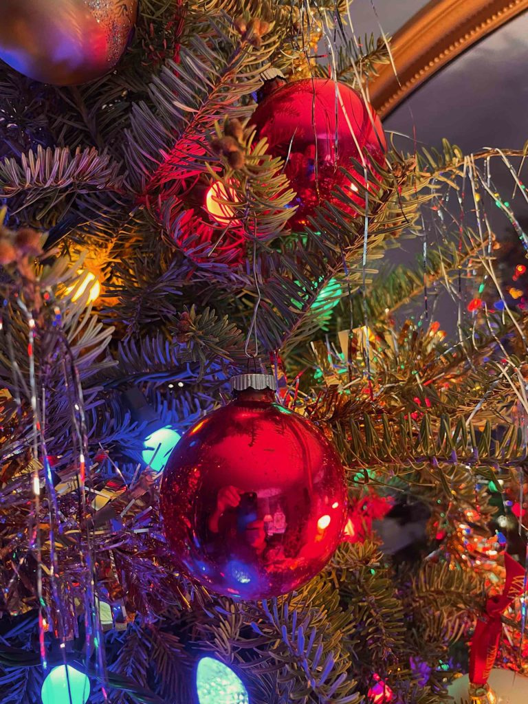
And then, one day, I was looking at pictures with Mum, and for some reason, I decided to look at my iPhone pictures. And there is was, a picture I’d taken with the iPhone last year:

Ornament on Christmas tree
Ornament on tree, taken with my iPhone 12 Pro

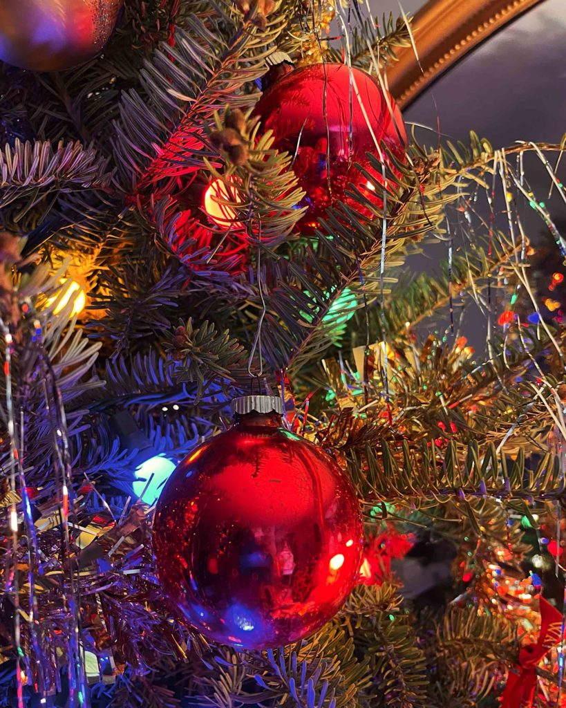
Looking at it, it was nearly perfect. The only thing that bothered me was that you can see my hands holding the phone taking the picture. So I took it into Photoshop, and cut the hands and phone out of the picture, using Content Aware Fill, in several steps. I also bumped up the contrast a bit because printing on card stock tends to flatten the contrast a bit:

Christmas ornament, with the reflection retouched away
After retouching my reflected hands out of the red ball

Content Aware Fill is an amazing thing. It took me maybe two minutes to take care of it; I remember when it would have taken me hours.

Then it was time to lay out the card. Once again, I used two-up card stock, using Apple Pages to lay it out. Vertical cards are actually laid out sideways on the template, so I just grabbed one of my older cards, replaced the images in them, updated the date on the back, and then had to decide on typography.

This year, I decided on white Bodoni 75 with a thin outline and drop shadow for better separation, placed directly on top of the picture. I removed the borders on the text box this year. I’m pleased with the way it came out — the type fits well with the picture, and it looks almost like a book cover.

The hard part this year was what to say inside. This has not been a good year for me or the family, because of Mum’s situation. Do I use the space to send a Mum update? But I send cards to a variety of people, and it wouldn’t be appropriate for everyone I send cards to. And a single message isn’t appropriate for everyone. In the end, for the pre-printed part, I went with the classic “Merry Christmas & Best Wishes for a Happy New Year”.

And here’s the finished card:

Finished 2022 Card Cover - Picture of a Christmas tree ornament with Merry Christmas laid over it.
Finished 2022 cover

Merry Christmas, everyone.

Sunrise at Castle Island

Today is the last day of Daylight Savings Time for 2022. The trouble with the tail end of DST is that sunrise is really late – 7:24 this morning, It been really sucking on workdays for the past few weeks; I normally get up at 7 on days that I work from home, and 6:30 on days that I go into the office, and I hate having to get up in the dark.

This morning though, I figured… If I get up a little after six, I can be over at Castle Island before 7 and be there before the sun comes up. I did not set an alarm; if I blew the wake time I figured no big deal, but in fact I did wake up around six, and hauled myself out of bed and onto the road.

Continue reading →

Fall Foliage, 2022

This has been a frustrating October. I came down with COVID the day after my niece’s wedding and even though I had a three day weekend the following weekend, and we had gorgeous weather, I still felt crummy enough, even after a week, to not want to do much of anything. It wasn’t a serious case; it just felt like a bad cold, but it hung on for about ten days. So last weekend, I moped around the house looking out at the gorgeous weather, and hoped that it would still be nice the next weekend, and that I’d finally be over the COVID enough to be able to do something fun.

It was, I was, and I did.

Continue reading →

Sunday Morning, Charles River

One of the things the fall brings is shorter days. The earlier sunsets are the most noticeable, but sunrise is getting later too. In June, sunrise was around 4:30-ish, now it’s around 6:30, and will be getting later still over the next six weeks, until Daylight Savings Time ends.

This later sunrise makes it easier to haul my sorry behind out of bed to see the sunrise. I tend to wake up early anyway — 3:30 – 4:00 is not uncommon, but usually I just roll over and try to go back to sleep.

I decided this weekend to see if I could get up early enough to be on the Charles River for sunrise. It’s something I’ve been thinking of doing for a long time. Since downstream faces East, I figured I could get some decent pictures.

Continue reading →