I decided once again to brave the weather gods and book a flight at the Quechee Balloon Festival in Quechee Vermont. I’ve been coming to the balloon festival off and on since 2012, and decided to change it up a little. This year, I decided to forego Friday, come up Saturday for the evening flights and Glow, and booked my flight for Sunday morning. This turned out to be fortunate; I heard Friday and Saturday morning flights were cancelled due to rain.
Saturday Night
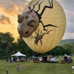
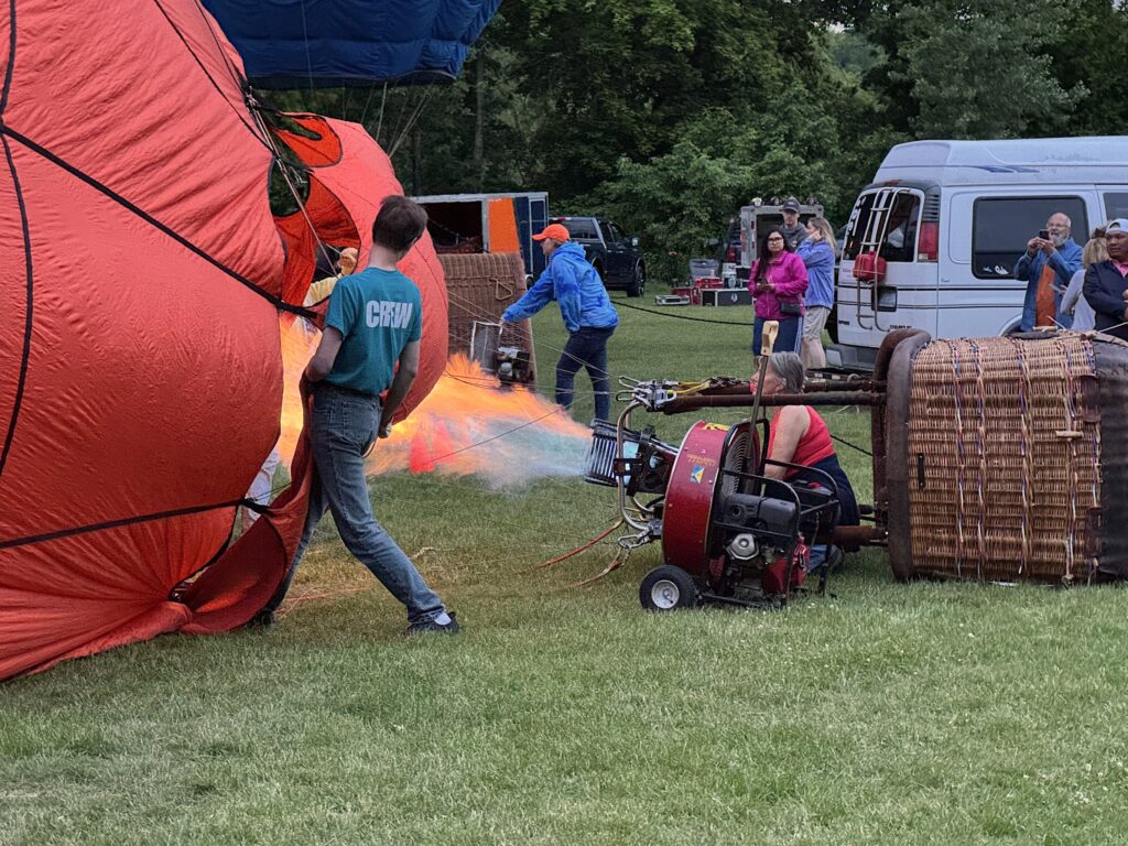
I arrived in the area around 4 on Saturday, checked into my hotel room, and headed over to the festival. I did the rounds of the craft fair booths, and looked at the stiff breeze blowing through the tents, and figured, “They’re not going to be able to take off this evening.” But I decided to stick around, and they were patient, and at the last practical moment, it seemed, they were able to get a bunch of the balloons off the ground. Darrack Daoust, who I flew with last year, was the last pilot to leave the ground, just before 8.
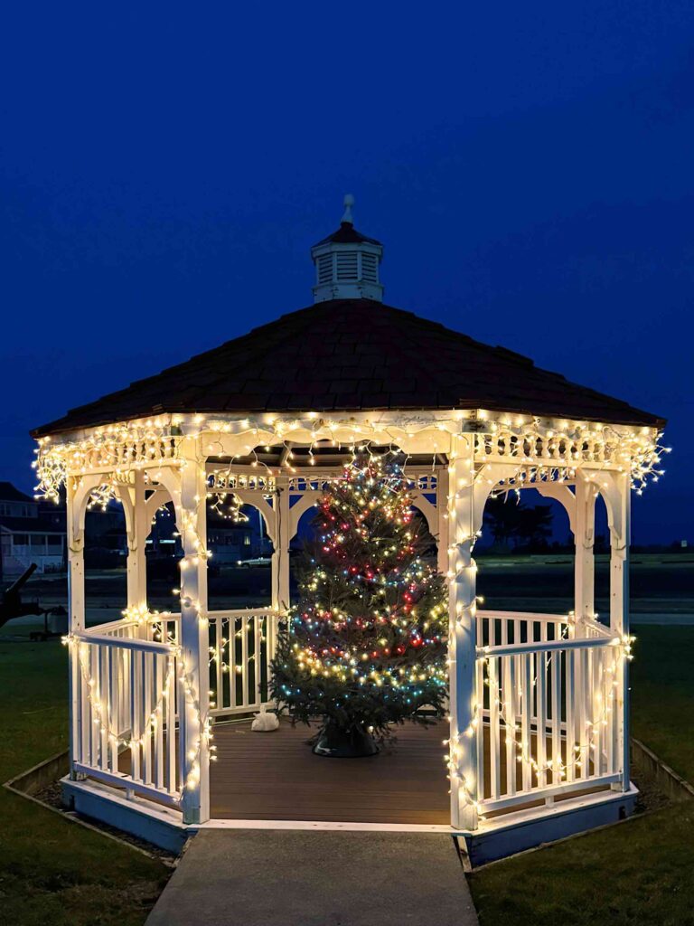
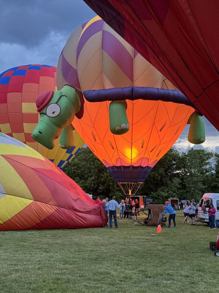
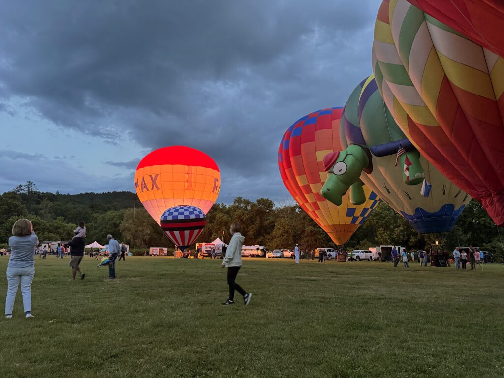
The Glow
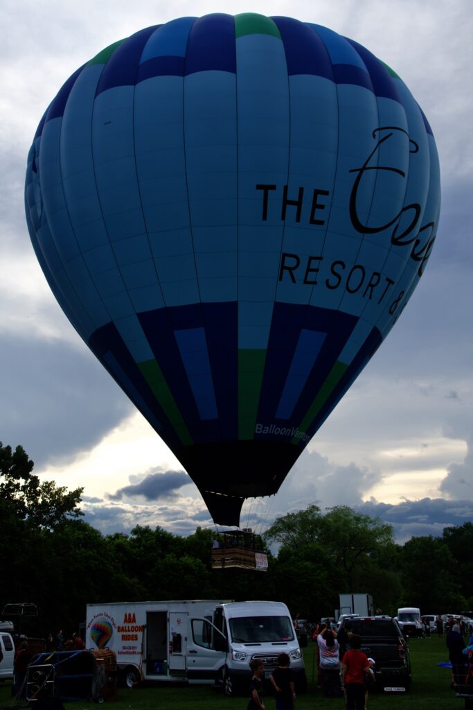
Shortly after the departing balloons cleared the field, five more balloons started setting up for The Glow. This is where a line of balloons are inflated on the field after dusk. The balloons stay on the ground while the pilots fire their burners to illuminate their balloons, often in time to music. It’s very pretty.

Sunday Morning
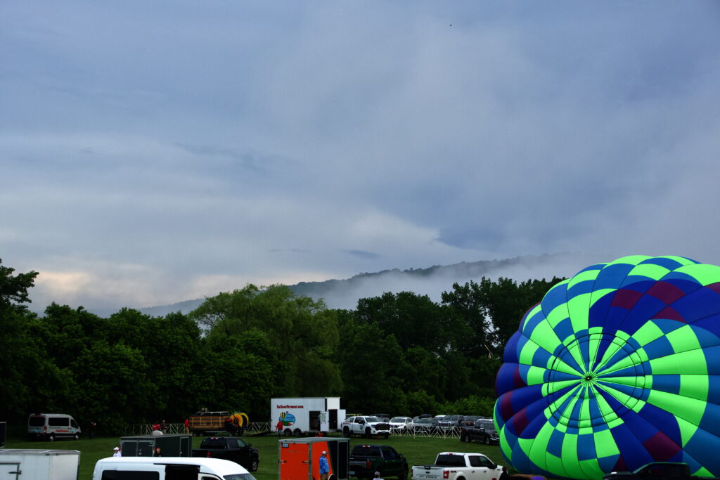
When I looked out the hotel room window just before 5 AM, I could see heavy fog. I figured this was a good sign — I’d been worried about too much wind, and fog doesn’t stick around if it’s windy, and I figured it would burn off. So I headed over to the Festival grounds in an optimistic frame of mind.
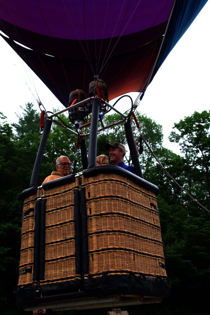
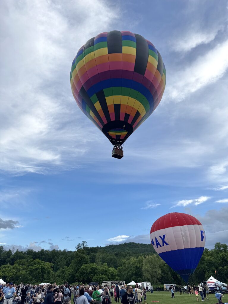
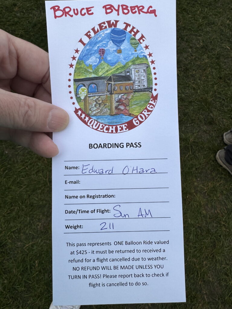
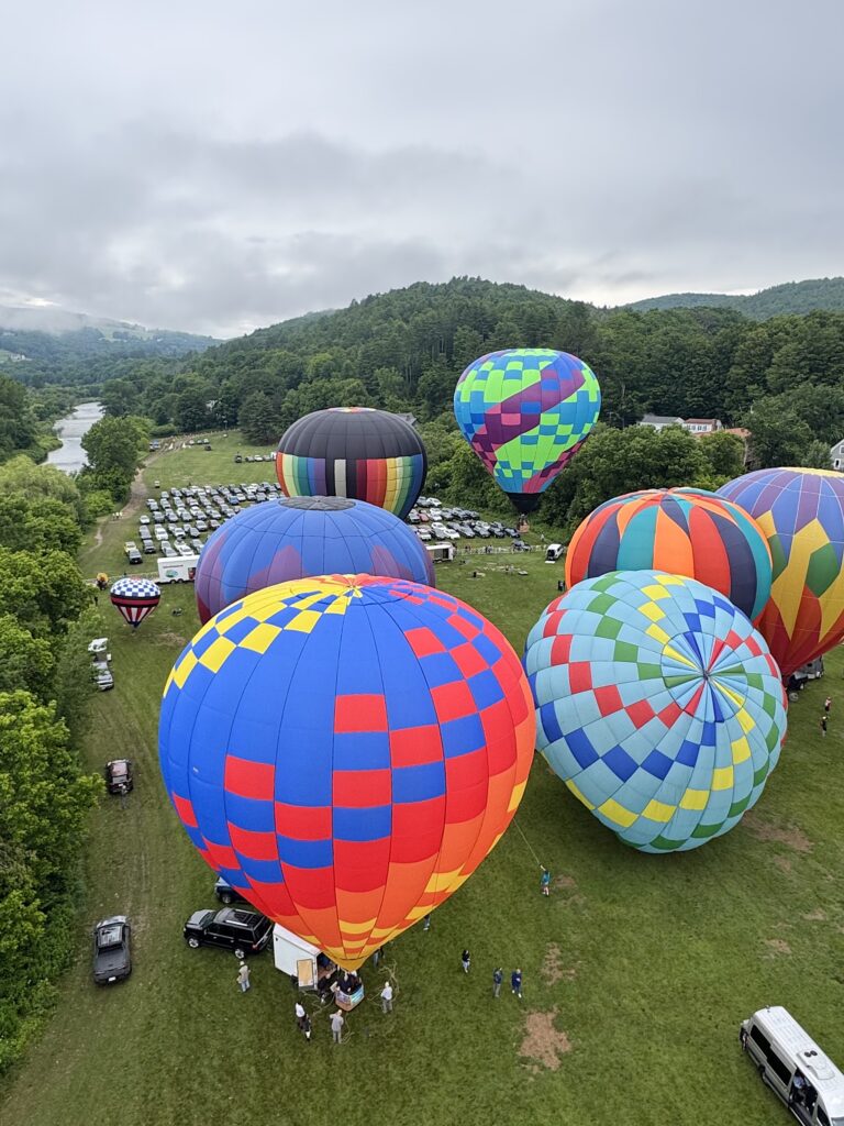
I checked in, and found my pilot would be Bruce Byberg flying the RE/MAX balloon. Bruce has been involved with balloons since 1989, and is the chief pilot for RE/MAX New England.
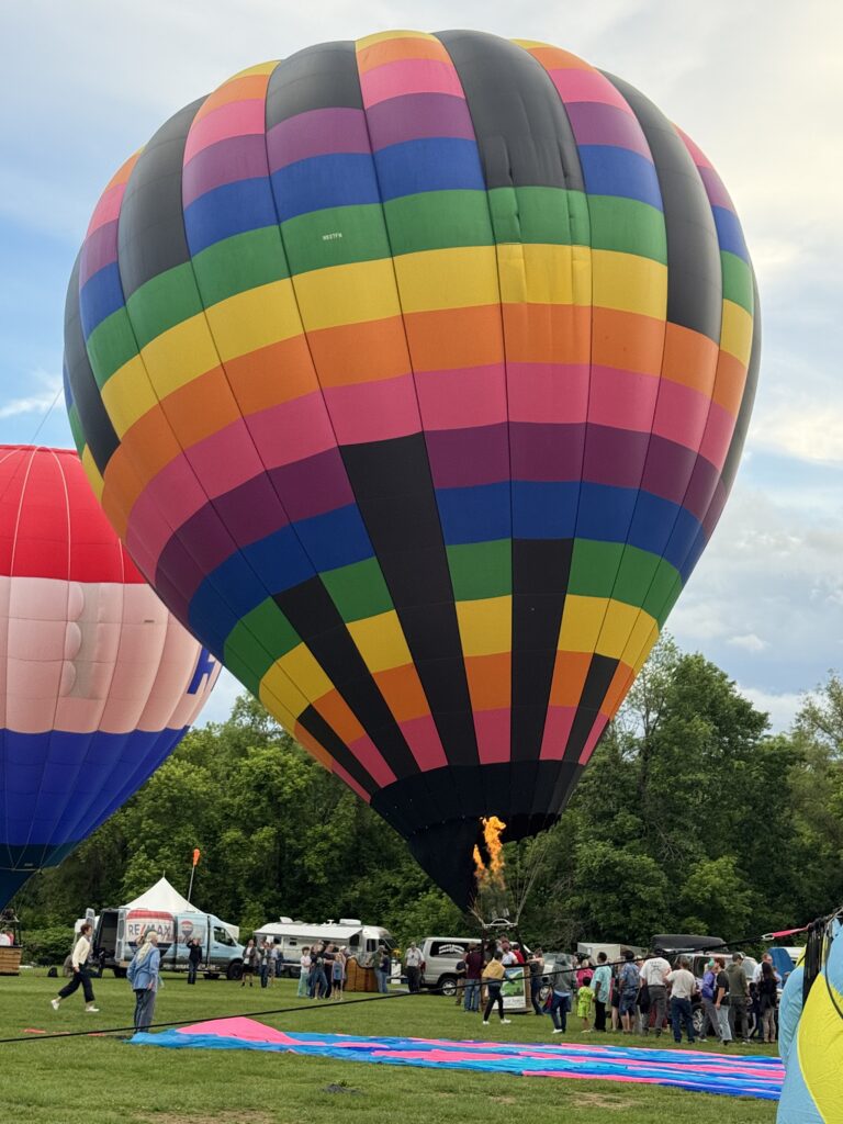
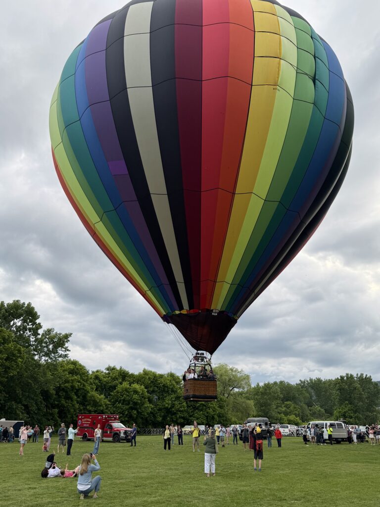
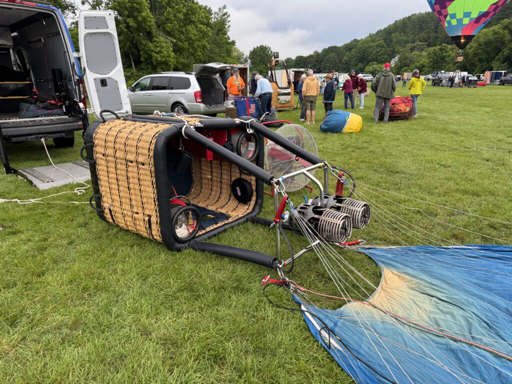
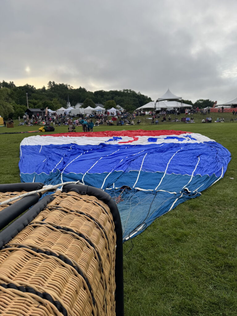
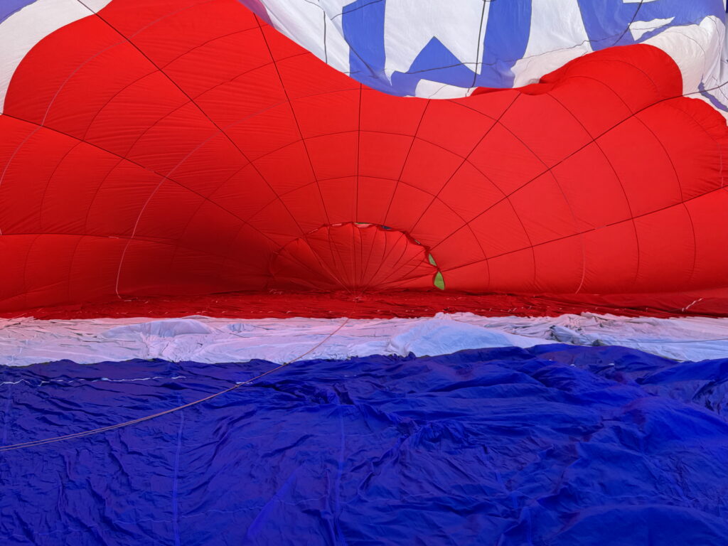
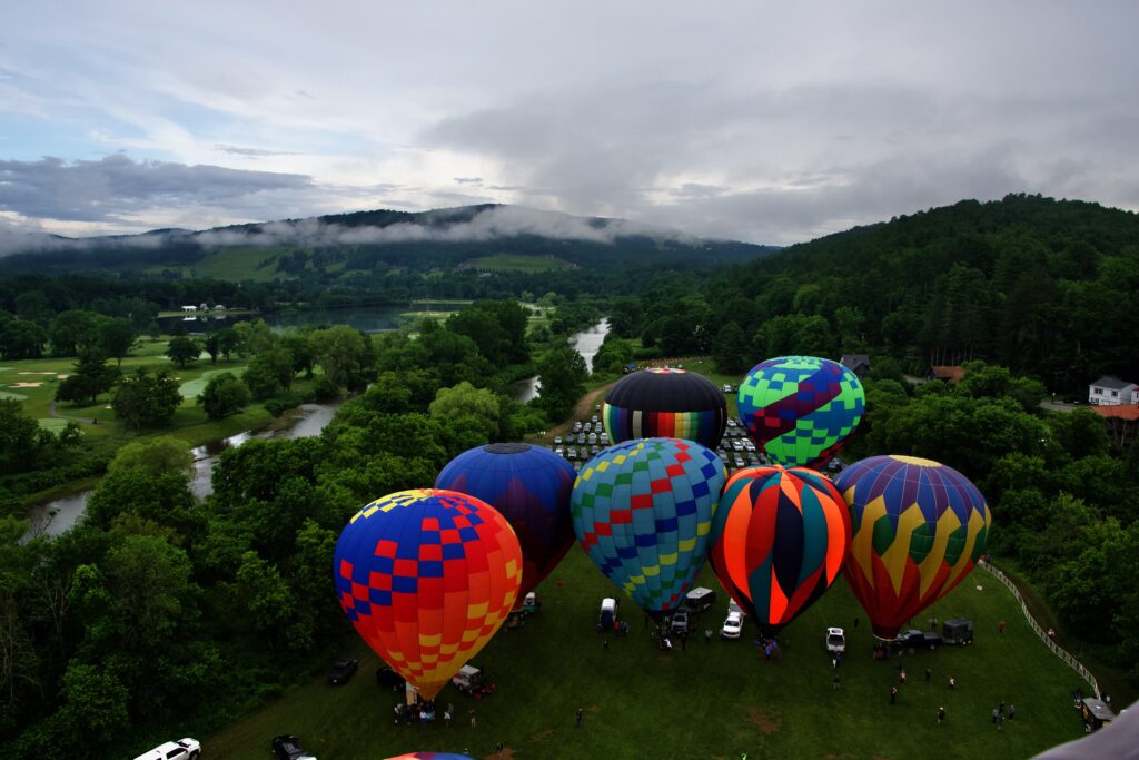
When I went down to the field, they were just sending up a small test balloon– the same kind of helium filled balloon you’d get at a store — to see what conditions were like. The balloon went straight up — next to no wind — but the visibility was iffy. Finally the BalloonMeister gave the OK, and the pilots started to inflate their balloons. After a little while, the balloon was upright and hot, and it was time to take off.
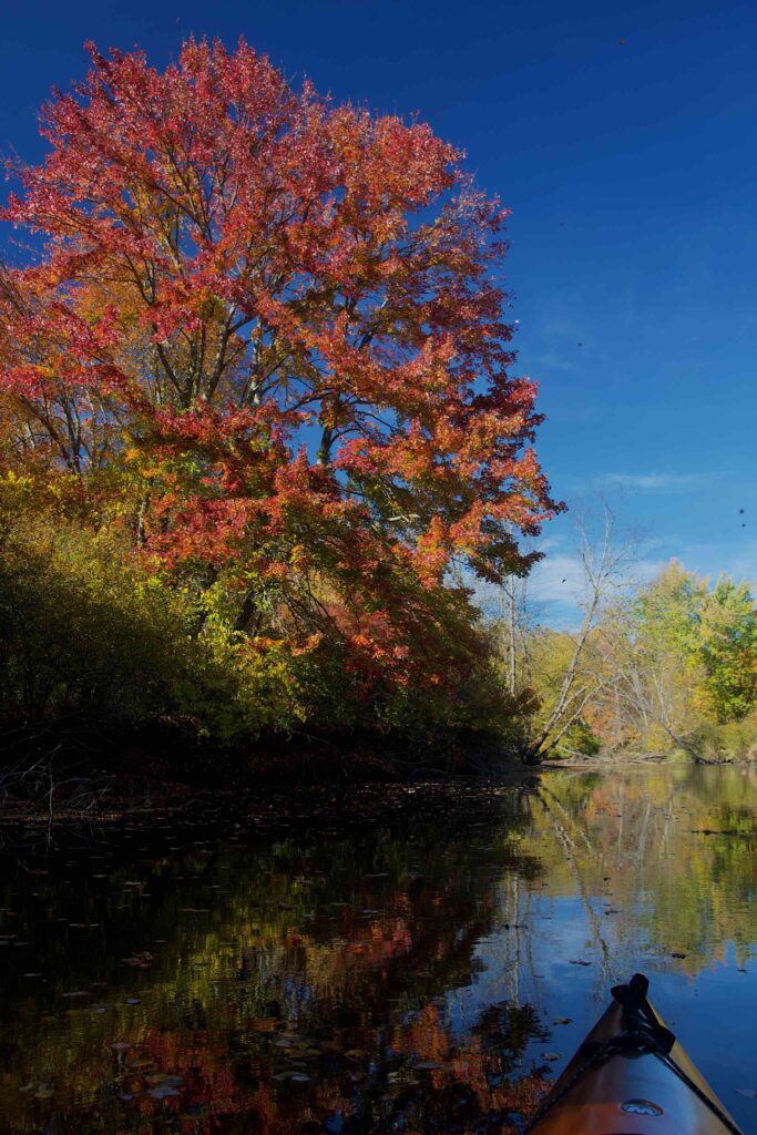
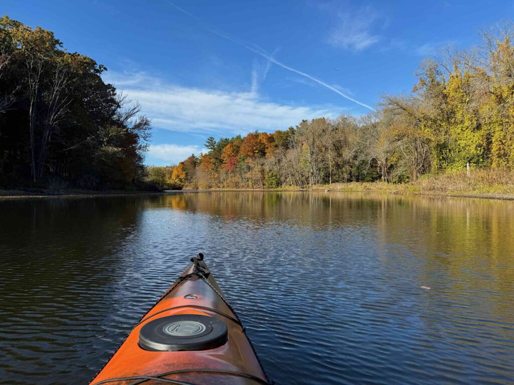
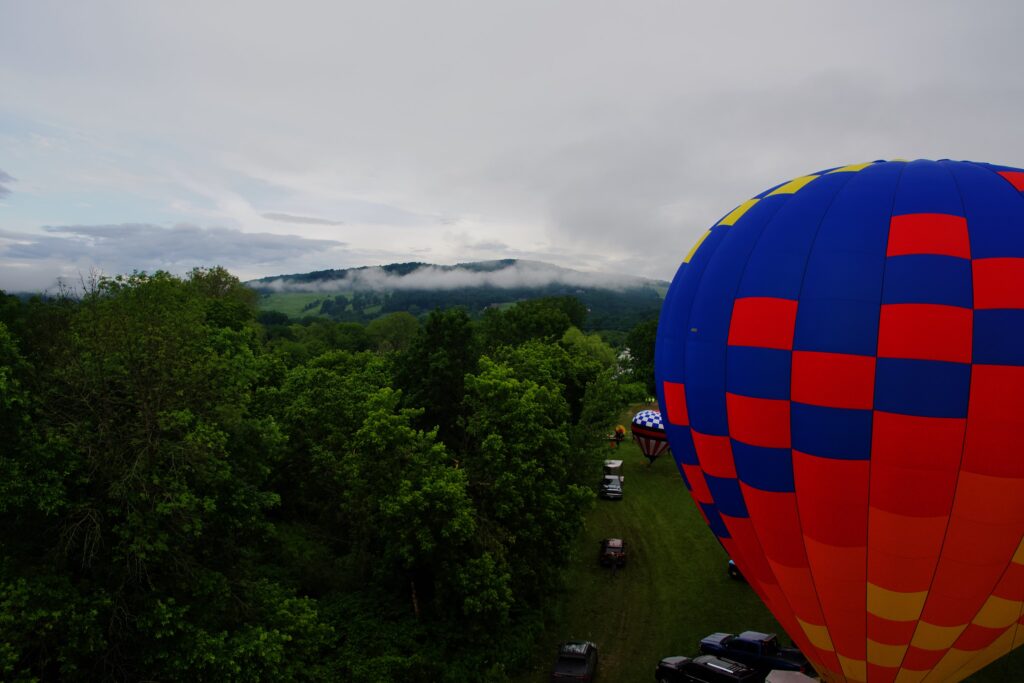
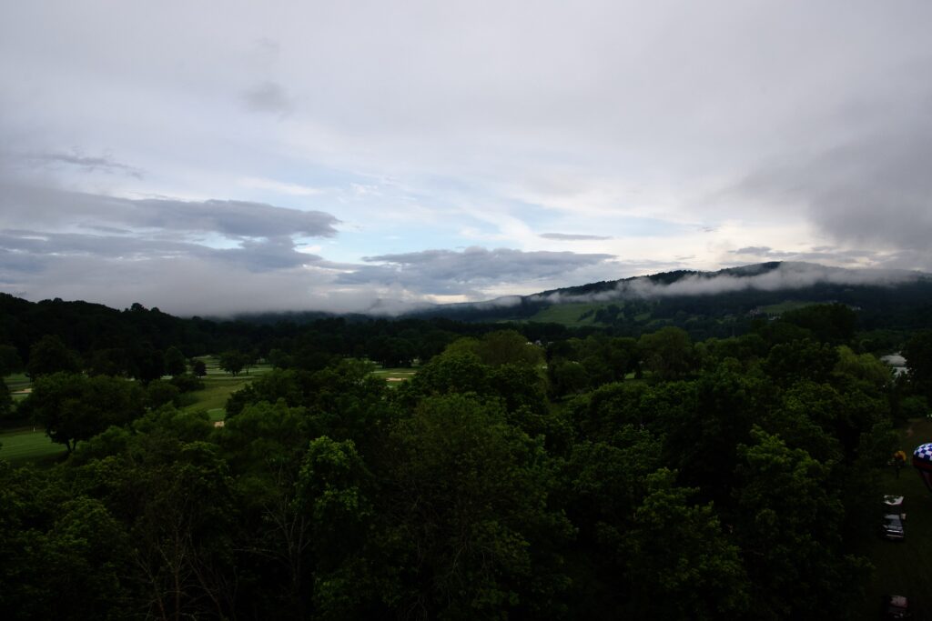
This flight was very different from my previous four. Those were all in sunny weather; this flight was overcast, and the hills were still wreathed in lines of fog. More significant was the lack of wind. Balloons can’t fly in heavy weather, but generally, there is a light breeze that will take you heavens-knows-where. Many of the pilots have a sense of where the winds are blowing at various altitudes, and are able to use height to control where they are headed.
For this flight, the lack of wind meant that all the balloons stayed in the general vicinity of the Festival grounds. It must have been great for the spectators since the balloons stayed in sight much longer.
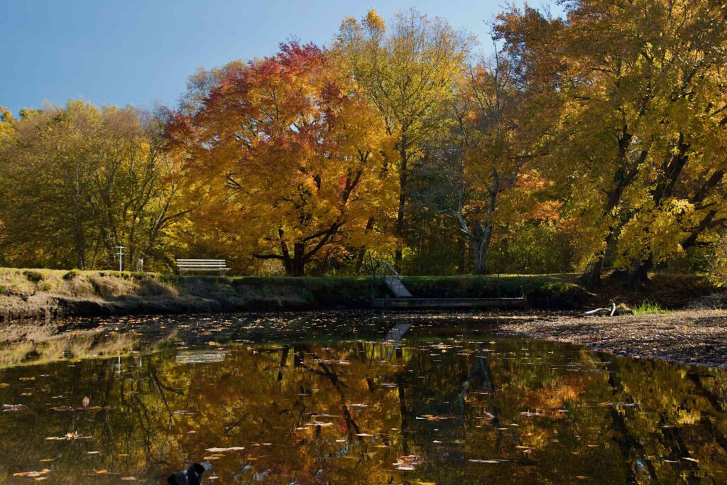
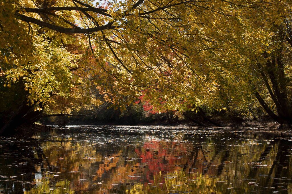
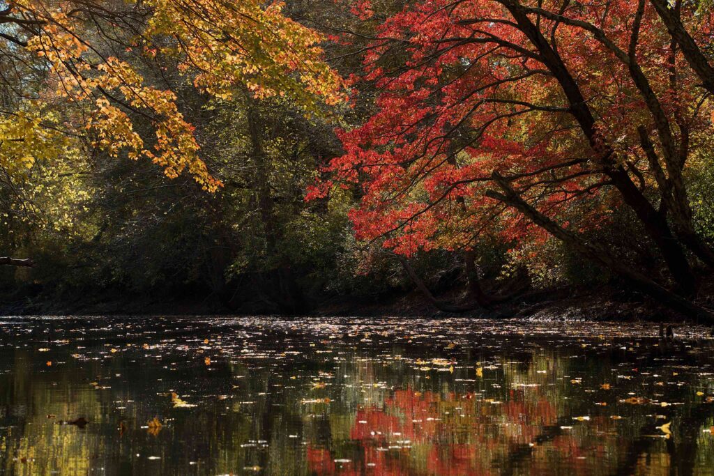
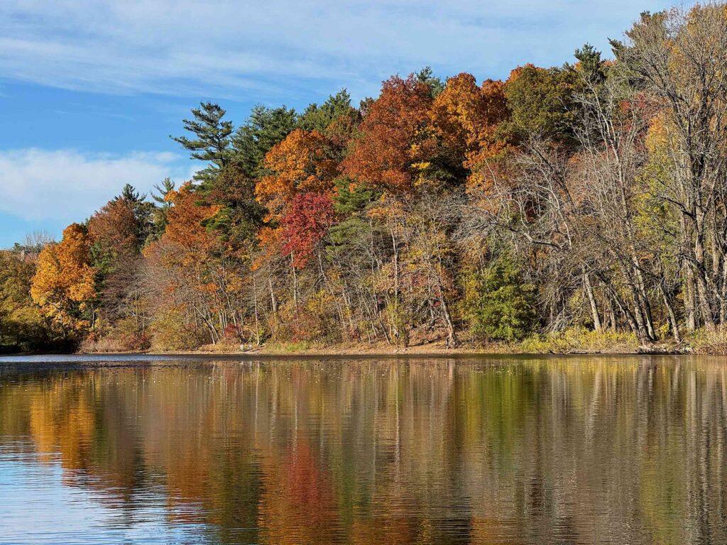
For me, the most enchanting part was all the fog banks, Even though the fog had burned off some, there were still lines of it draped over the hillside. There’s just something fascinating about fog seen from above.
With the still air, we didn’t cover much distance. Bruce was kind enough to send me our track and some statistics: we drifted southerly towards the Simon Pearce factory, then back north towards the festival grounds – I actually saw my car — then westerly along the river ad golf course, before Bruce took us higher, and we started drifting east. We finally ended up at the nearby Ottoquechee School.

We were in the air for three quarters of an hour overall, with a maximum altitude of 1382.94 feet. As we headed in to the landing, we passed over a father with his young daughters, and they followed us to the school parking lot where we landed. Bruce and his crew let the girls into the balloon, and took them up about six feet or so, before letting them help get the air out of the envelope and pack it up.