One of the things the fall brings is shorter days. The earlier sunsets are the most noticeable, but sunrise is getting later too. In June, sunrise was around 4:30-ish, now it’s around 6:30, and will be getting later still over the next six weeks, until Daylight Savings Time ends.
This later sunrise makes it easier to haul my sorry behind out of bed to see the sunrise. I tend to wake up early anyway — 3:30 – 4:00 is not uncommon, but usually I just roll over and try to go back to sleep.
I decided this weekend to see if I could get up early enough to be on the Charles River for sunrise. It’s something I’ve been thinking of doing for a long time. Since downstream faces East, I figured I could get some decent pictures.
The forecast Saturday morning called for temperatures around dawn of around 49°, so I decided to see if I could do it this morning. I put the kayak on top of the car last evening, and loaded the paddle, PFD, and wet socks into the back of the car and charged up the camera battery. I decided not to set an alarm. I figured if I was tired enough to sleep late, fine, I had the day to go paddling, but if I woke up early, I could decide then whether to get up and get in gear.
I woke up at 5:19 this morning — just early enough to give me a few moments to figure out if I really wanted to do this, or should I roll over and go back to bed. At first, rolliing over was mighty tempting — I’d been up late the night before, and I knew I had the whole day to go paddling. Then visions of the pictures I could take started dancing in my head, and I grumbled, got up, slurped down some yogurt, put some coffee in the travel mug, and headed into Cambridge.
The closest put-in to downtown Boston is Magazine Beach in Cambridge. Driving in, there was just the faintest blush of pink in the Eastern sky, and I had the sinking feeling this was all for naught — that there was too much haze overhead for there to be a sunrise.
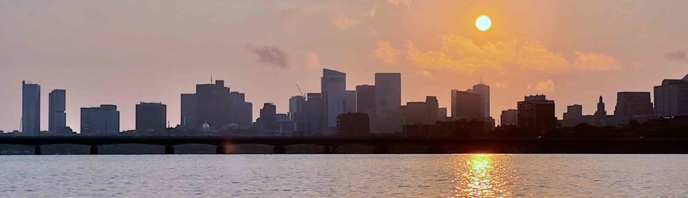
Sunrise this morning was at 6:29. I got to Magazine Beach at around 6:20, and the sky did not look very impressive. But I figured I was there, so I might as well go for it. It takes about 10-15 to get the boat off the top of the car and into the water. I put the drybag with my camera and phone in the kayak, and did my usual oh-so-graceful entrance, and I was off.
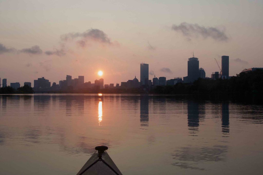
By this point, it was around 6:45, and I figured I was probably too late, but then I cleared the rushes at the edge of the river, got into the middle, and there, behind both the BU and railroad bridges, was the sun, rising over Boston. I didn’t want to include the bridges in my photos, so after a couple of minutes of semi-frantic paddling, I was in position to take some pictures. The masthead picture at the top was taken with my iPhone; the rest below were taken with the Nikon.
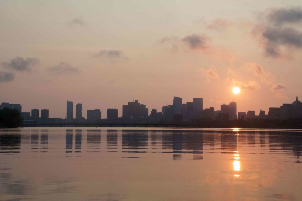

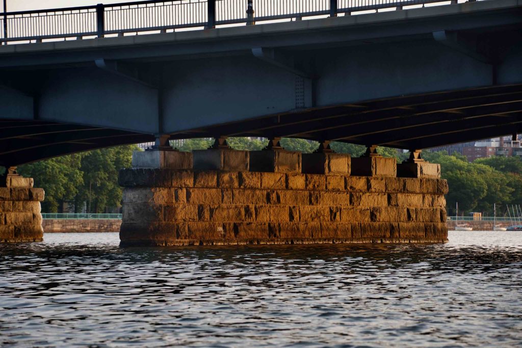
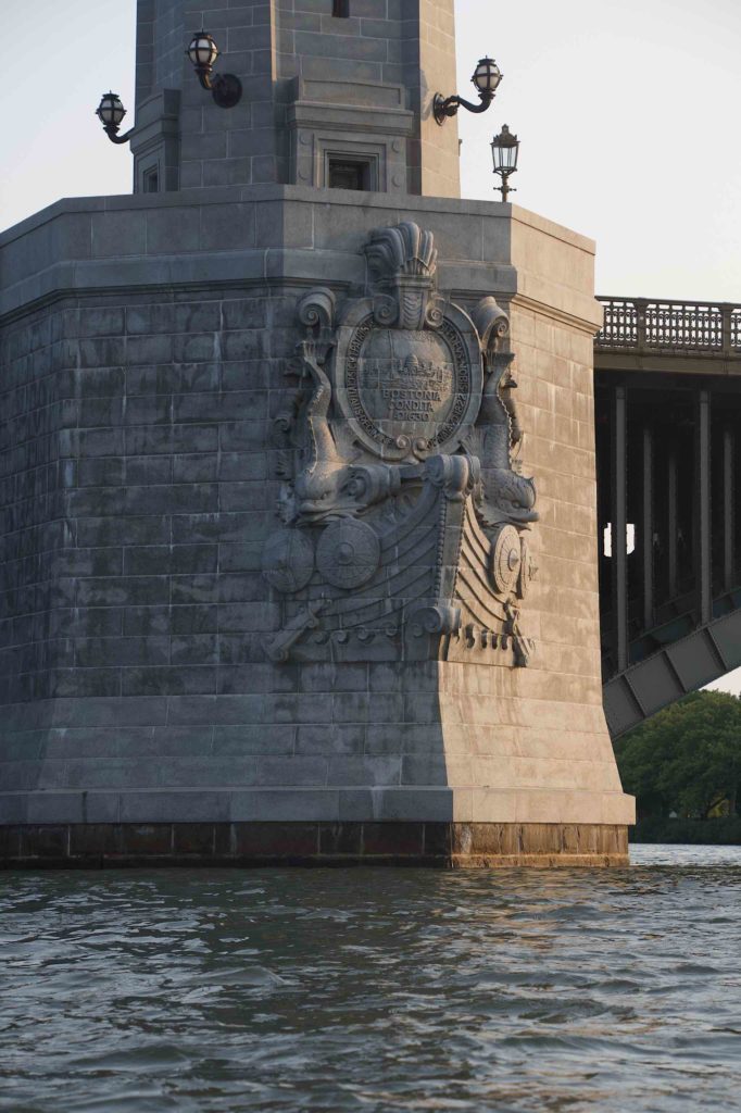
Even past sunrise, I figured the earliness of the hour had advantages. While the sun was still low, it was warm in color, and I got some nice picture of the sun shining on the granite piers holding up the Mass Ave bridge.
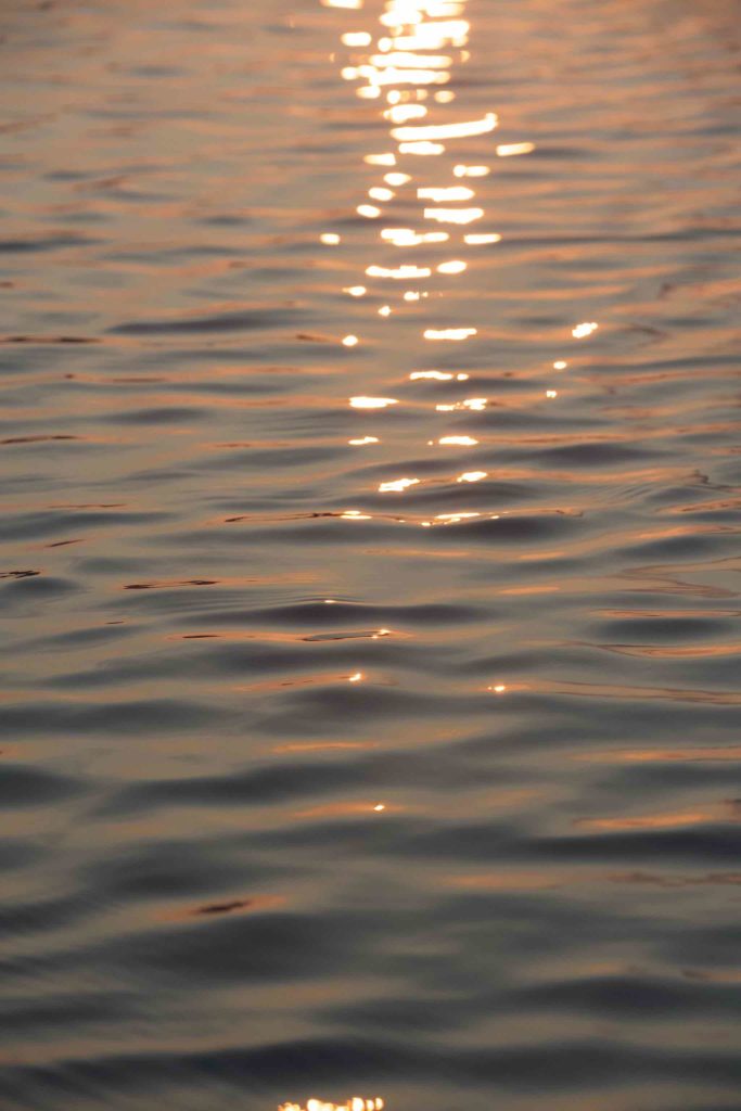
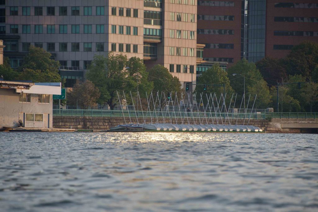
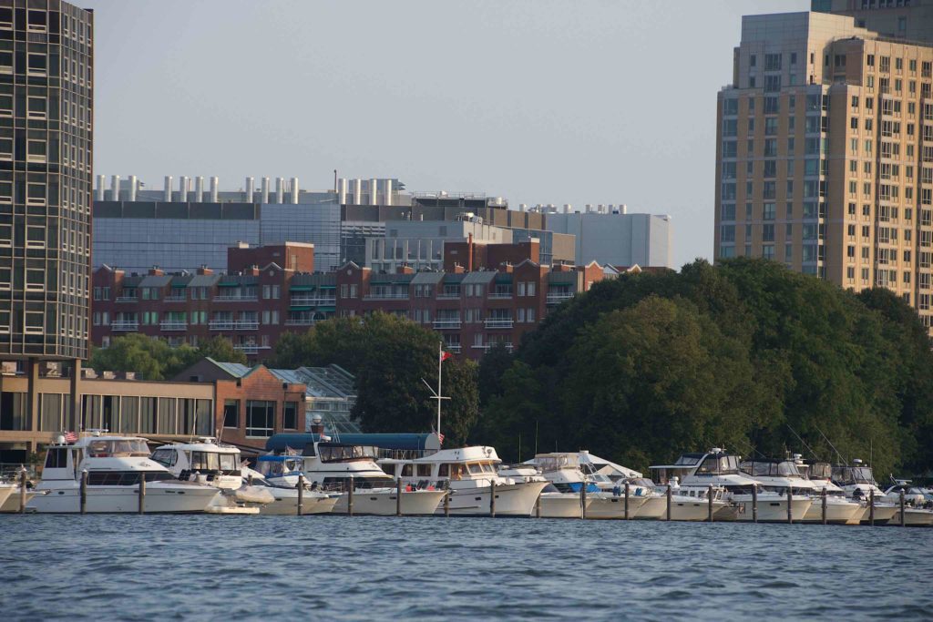
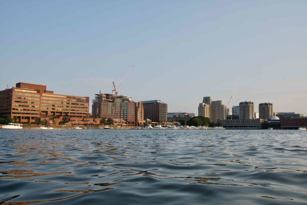
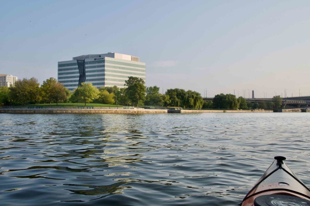
Passing MIT, I could see the sun glinting on the water in front of the MIT dock with all its sailboats. And I got a picture of the sunlit side of the Hancock tower glowing in the morning sun.

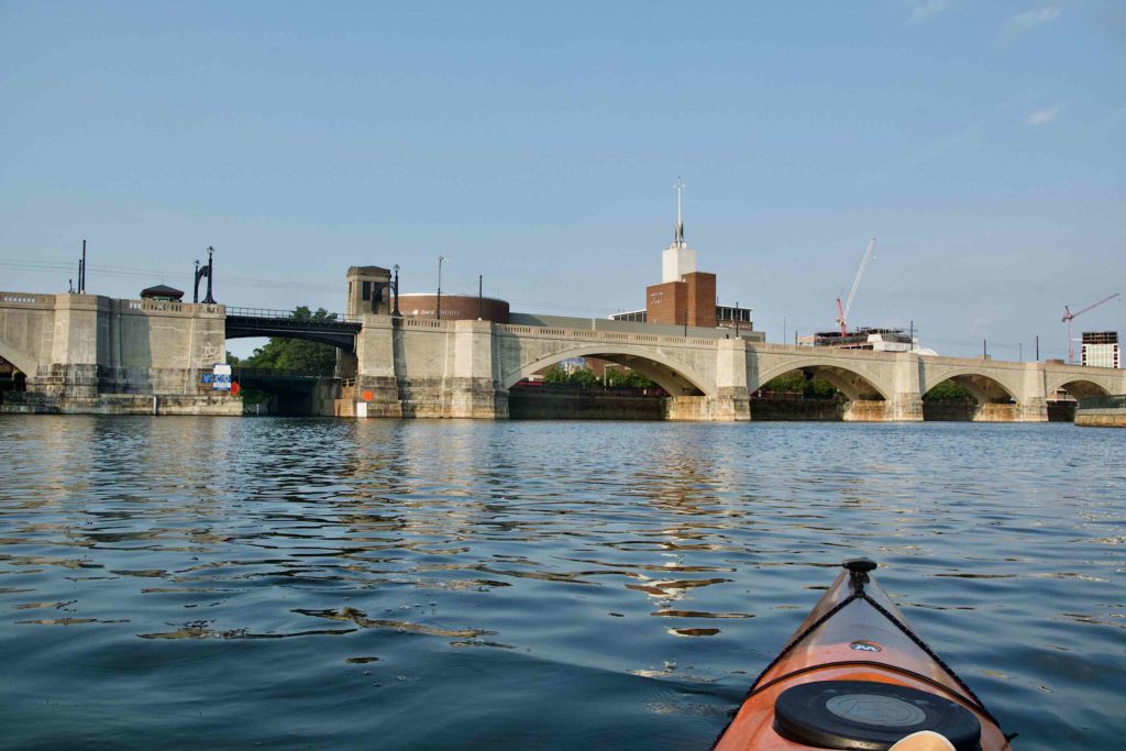
Continuing on, with the sun in the east, there were several structures, like the ornamentation of the Longfellow Bridge and the downstream side of the Green Line’s Charles River viaduct that were in direct sunlight, that I had been used to seeing in the shade.
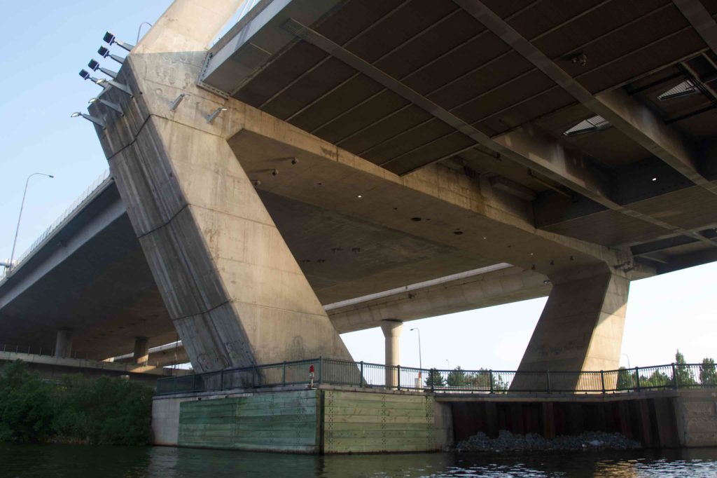
I finally turned around under the Zakim Bridge. The supports for the bridge are massive.
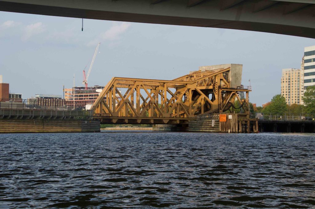
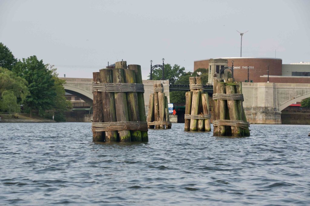
On the way back, I got a picture of the railroad drawbridge I’d paddled under, and then a number of pilings between the drawbridge and the Viaduct:
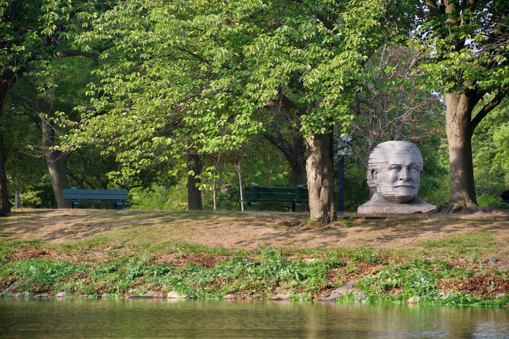
As usual, it was choppy between the Museum of Science and the Longfellow Bridge, so I was happy to duck into the calmer water of the Esplanade lagoon by Community Boating. As I passed through the first lagoon, the Arthur Fieldler head came into view.
By this point, I was anxious to finish up the trip. I’d been in the boat for nearly three hours, so I was taking fewer pictures. One of the last one was this monstrosity going up on the BU campus.
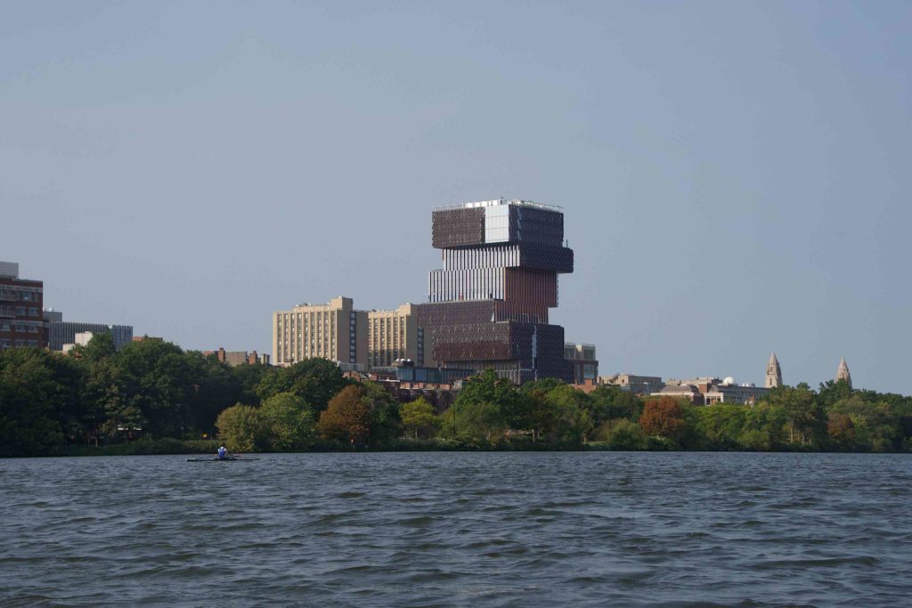
I have since learned it’s the BU Data Science building. What a self-indulgent piece of crap. When I think of all the engineering wasted on making this “statement”, it makes me angry. Buildings are public artifacts, and they should not detract from their environment.
I continued on, heading upstream into the wind, passing the BU Boathouse, and then the railroad bridge and BU Bridge. There’s a small campsite nestled under the BU Bridge; unnoticeable from the road, but quite visible from the water. The the Magazine Beach dock came into view, and it was time pull out, pack up, and head home.