Massachusetts has been battered for the past few days by a massive nor’easter; as I was working Friday, the rain was coming down nearly horizontally, and slashing against the windows. The wind has been fierce, and because of the nearly full moon, the tides have been especially high.
When my dentist appointment was cancelled yesterday — they had no power — I decided to head for the Cape to see how it was faring.
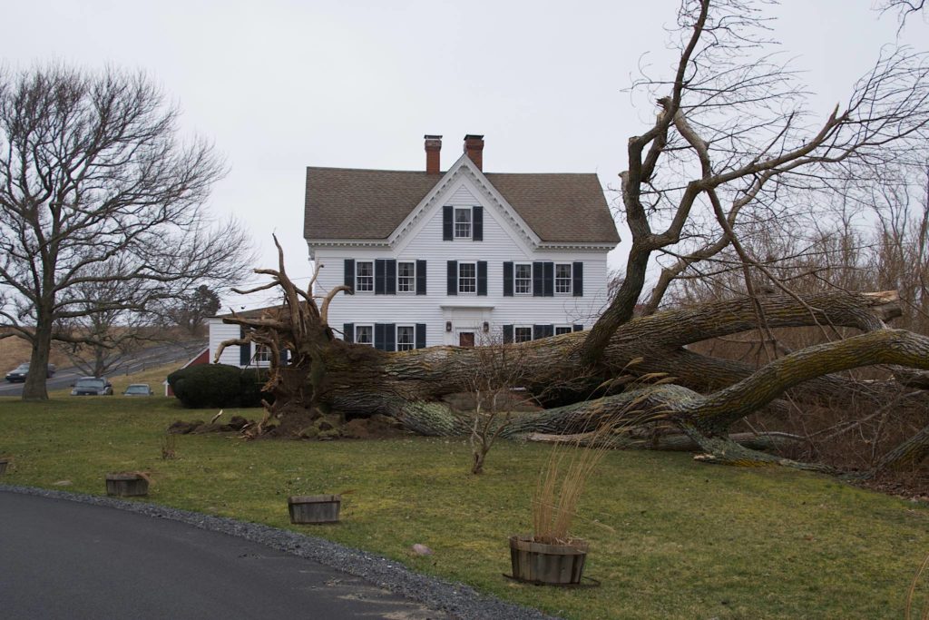
Our first stop was Fort Hill in Eastham, overlooking Nauset Marsh. On the road up to the outlook, we passed a massive fallen tree:
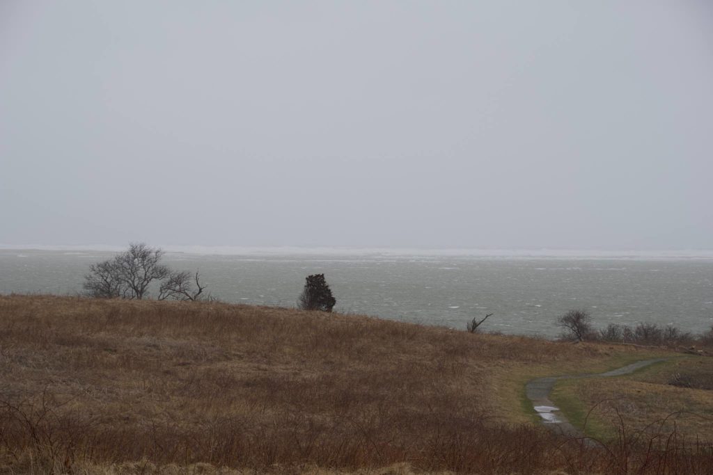
Once we arrived at the parking lot, I could barely open the car door, the wind was so strong. Normally, the view from Fort Hill is of the grassy marsh, with the dunes of Nauset Spit in the distance. Not today. The whole marsh was flooded, and looking across, I could see foamy waves crashing right over the spit.
From Fort Hill, we decided to head for Coast Guard Beach, but the road was blocked. There must have been downed trees or downed wires laying across the road, so we headed for Nauset Light Beach instead.
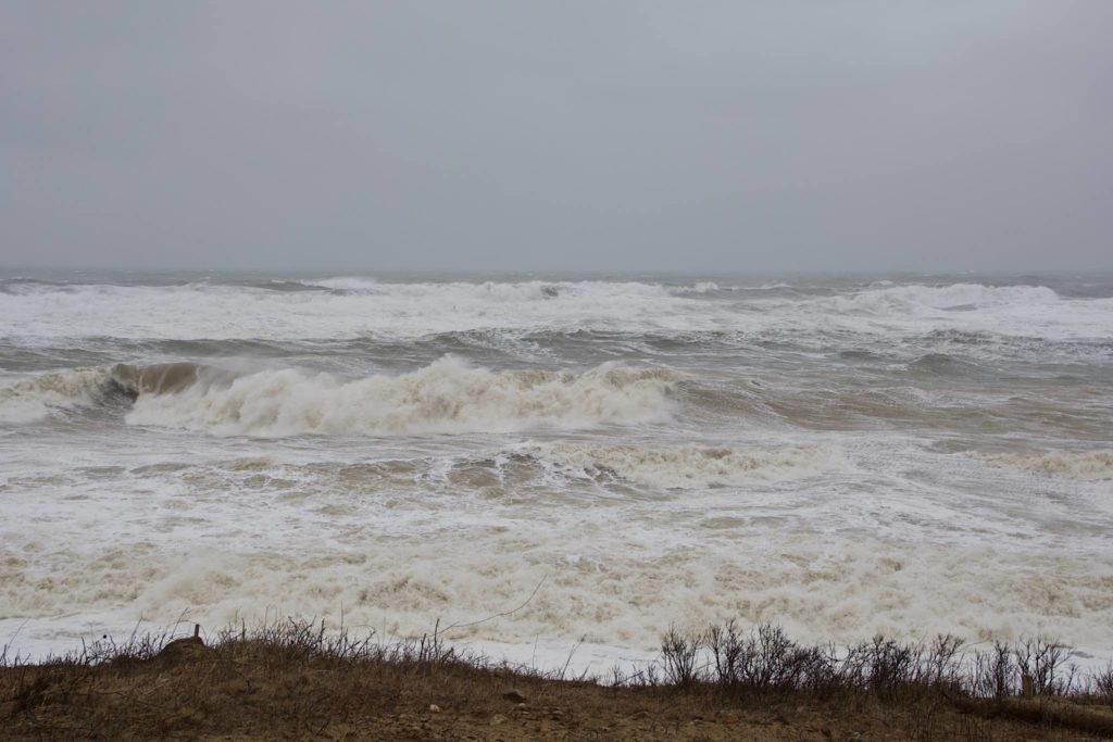
The wind and waves at Nauset were unreal. It was hard opening the car doors, and my clothes were quickly covered with a fine layer of blown sand. From the edge of the parking lot, we could see the waves battering the shore.
After spending some time at Nauset, we decided to make another try for Coast Guard. The connecting road between the two beaches was open, so we headed over that way.
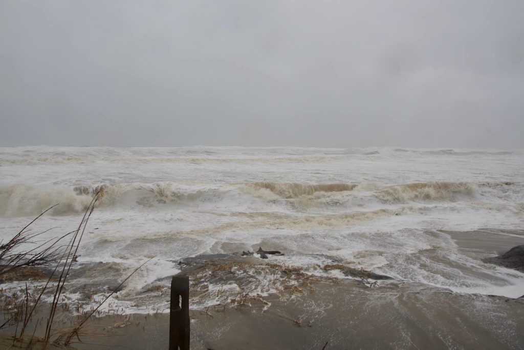
From Coast Guard, it was easier to get to the water’s edge. I walked down to the edge of the water, where the waves had already eroded the end of the path, and took some more pictures:
I then decided to head to the back of the spit, to take a picture of the bike path bridge over the flooded marsh. Unfortunately, the marsh was flooding right over the top of the path, so I wasn’t able to get the shot I wanted:
From there we decided to head over to the bay side, but ran into a problem: many of the roads were blocked, due to downed trees or wires. It was hard to get away from the ocean side, and when we finally did, the roads to First Encounter and Cole Road Beaches were blocked. I wish I’d thought to bring the bicycle with me to get around the road blocks, but it hadn’t occurred to me. We finally found out way to the end of Kingsbury Beach Road on the Bay Side.
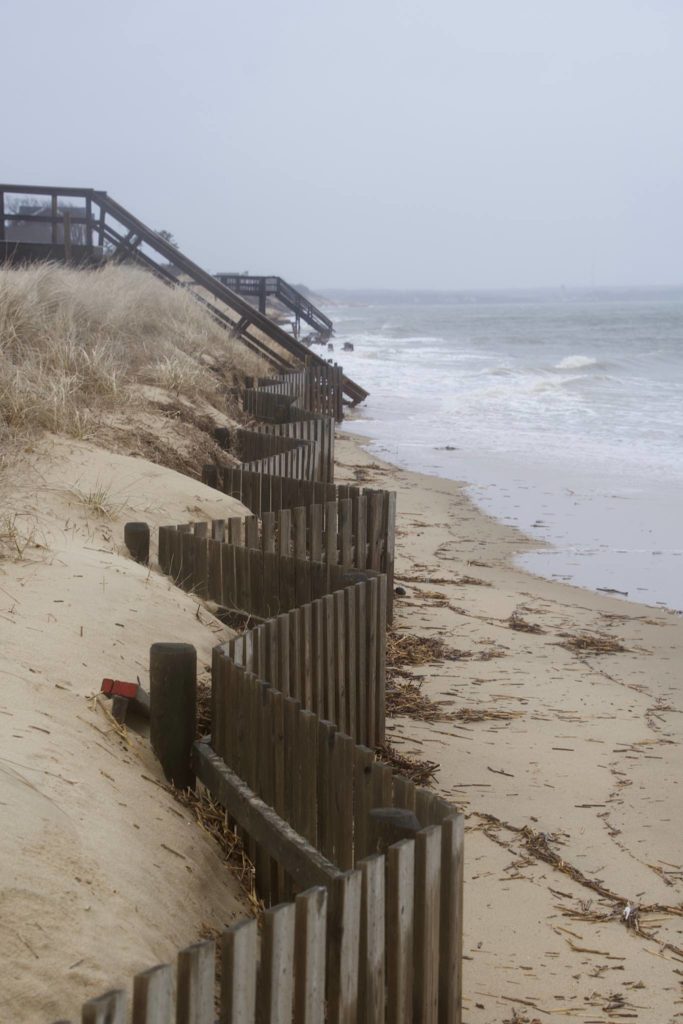
Here, the waves weren’t nearly as violent, but the water level was high; right up to the end of the road. There was no beach to be seen. Waves were crashing up against the sea wall of the house by the end of the road, the storm fencing, and the stairs down to the beach:
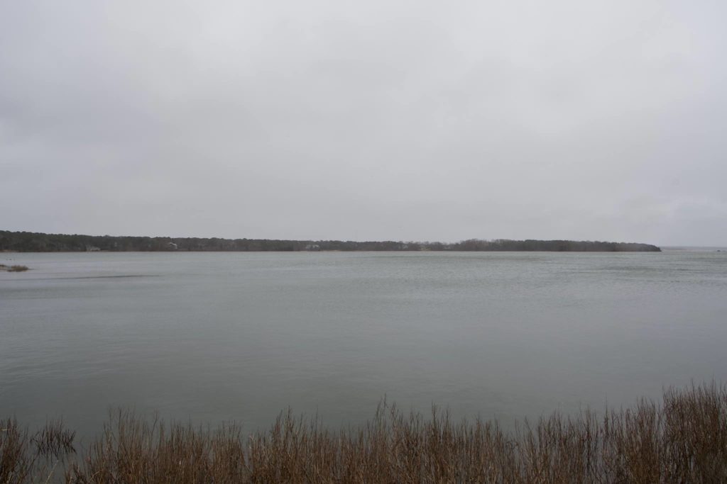
Our final stop was my Uncle Tom’s place – we had a leftover Christmas present that needed to be dropped off, so we headed back down along Herringbrook Road towards his place. Along the way, I stopped by the side of the road – what was normally a large expanse of grassy marsh, even at high tide, was now a lagoon.
When we got to Tom’s house, he was cutting up a fallen tree; a number of trees had fallen on the property. He’d also lost power, and a skylight. As bad as the wind was at the moment, it had been worse the day before; while covering over the skylight, he’d had to hold the ladder in place with his tractor.
We’ve been personally, pretty lucky with this storm — just some downed branches in the back yard, and the lights flickered a little on Friday, and apparently the power went down for a little time while we went out yesterday, but that’s been it. We’ve been pretty lucky compared to our neighbors in Quincy, and Scituate, and the Cape.

