Sixty Years of the MBTA

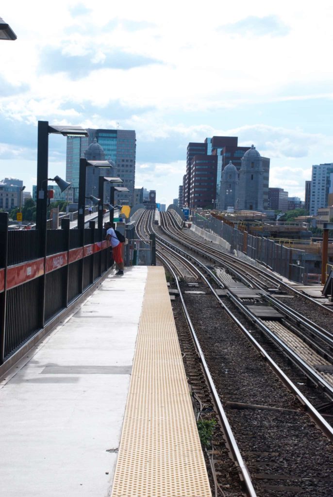
Today marks the sixtieth anniversary of the day that the Massachusetts Bay Transportation Authority (MBTA) took over the Boston transit system from the previous Metropolitan Transit Authority (MTA). The previous MTA had covered 14 cities and towns, and it was recognized that Greater Boston’s transportation needs were more regional; the MBTA district originally covered 78 cities and towns and now includes over 100.

Continue reading

Chasing the Type 9

The MBTA is in the process of adding 24 new streetcars, called the Type 9, * for the Green Line for the extension to Somerville. The first one, #3900 went into revenue service in December, and I’ve been wanting to ride one since.

A gentleman by the name Stefan Wuensch has created a site showing real time location data of each train on the system, and I’ve been monitoring it to see if I could see #3900 running. Yesterday, it was running on the B line with #3902, and I decided to head into town.

I got to Riverside, and checked the site again. #3900 was inbound from BC, and I was curious to see whether we would get to Kenmore before or after it. The B line is shorter, but also slower. As we approached Fenway on the D Line, I could see it approaching Blandford Street on the B. As the lines merged at Kenmore, it was one train ahead of us.

I saw that the Type 9 train was terminating at Park Street. I decided I wanted to see if I could take it back outbound. Decisions, decisions. Do I take my train all the way to Park Street, and hope it takes some time to turn the Type 9 around, allowing my train to catch up, and allowing me to board an empty train? Or do I get off at Boylston? That way, even if the train is turned around fast, I’m still going to be ahead of it. It also means I will have to pay to re-enter on the outbound side, and possibly getting onto an already crowded train. I decided to get off at Boylston, walked fast past the old PCC and Type 5 parked on the outside inbound track, up to the Common and back down to the outbound platform.

First up was a Type 8/7 combo bound for the B Line and Boston College. “Great,” I thought. “The Type 9 will be less crowded. The train loaded, and left, and I saw the the next train approach. It was the Type 9, and it was now signed for the C Line. “Great,” I thought. “It’ll be easier to get back to the Riverside line”. As the trolley pulled into the station, I grabbed my phone, and took its picture.
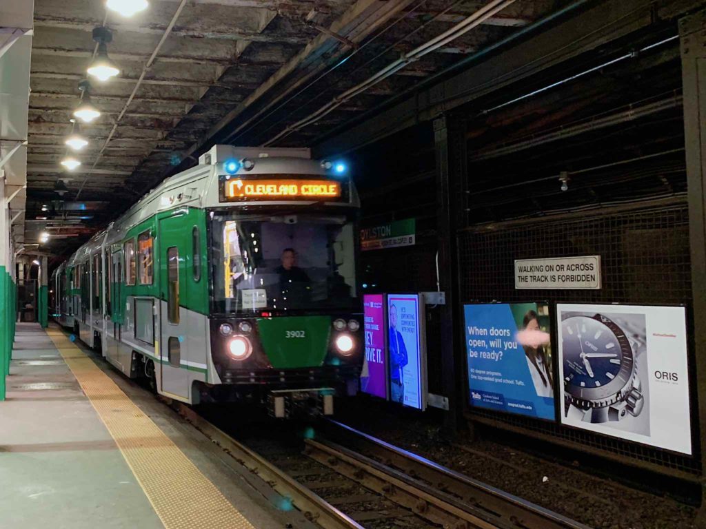
MBTA Type 9 #3902
MBTA Type 9 #3902

And then it continued on, without stopping. Curses, foiled again.

* The MBTA uses the same “Type” nomenclature to designate models of Boston streetcars that its predecessor, the Boston Elevated Railway, did. Types 1 – 5 were Boston Elevated models, dating from the early 1900s up to the early 1950s, before going to an industry standard streetcar, the PCC streetcar in the 1940s. When it came time to replace the the PCCs, they prototyped a Type 6 car before going with the US Standard Light Rail Vehicle, manufactured by Boeing. When the Boeing LRV failed to live up to expectations, the T went with a custom design, the Type 7, which is still in service, along with the Type 8 cars, which are a “low floor” car designed for wheelchair accessibility.

Long Walk

I did something to my back last weekend, and have been hobbling around since. It’s not been too bad during the work week, as sitting itself hasn’t been too painful, though walking after sitting can be a pain. It’s put a distinct crimp in my weekend though; I daren’t use the kayak, I had to cancel a dive with Andrew today, and I don’t really want to use the motorcycle, both because of the back, and for reasons that I’ll relate later.

While yesterday morning was rainy and muggy, yesterday afternoon, the afternoon turned sunny. I wanted to do something, something that wouldn’t make the back worse. That basically left walking, so I drove into Boston with the camera, parked by the river on the Cambridge parkway, and went for a long walk.

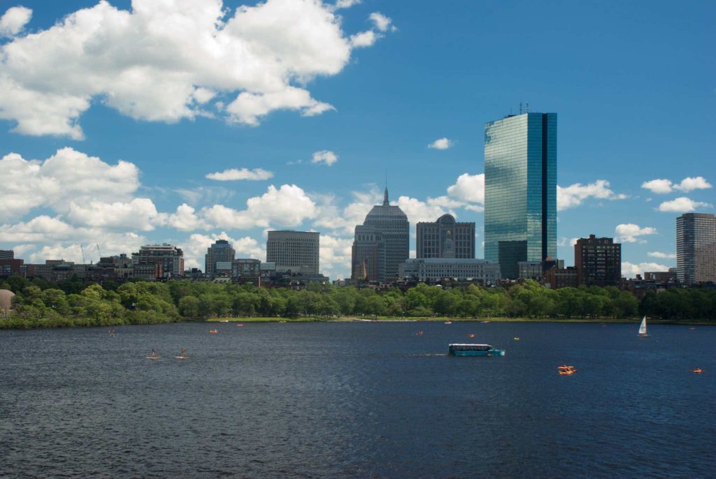
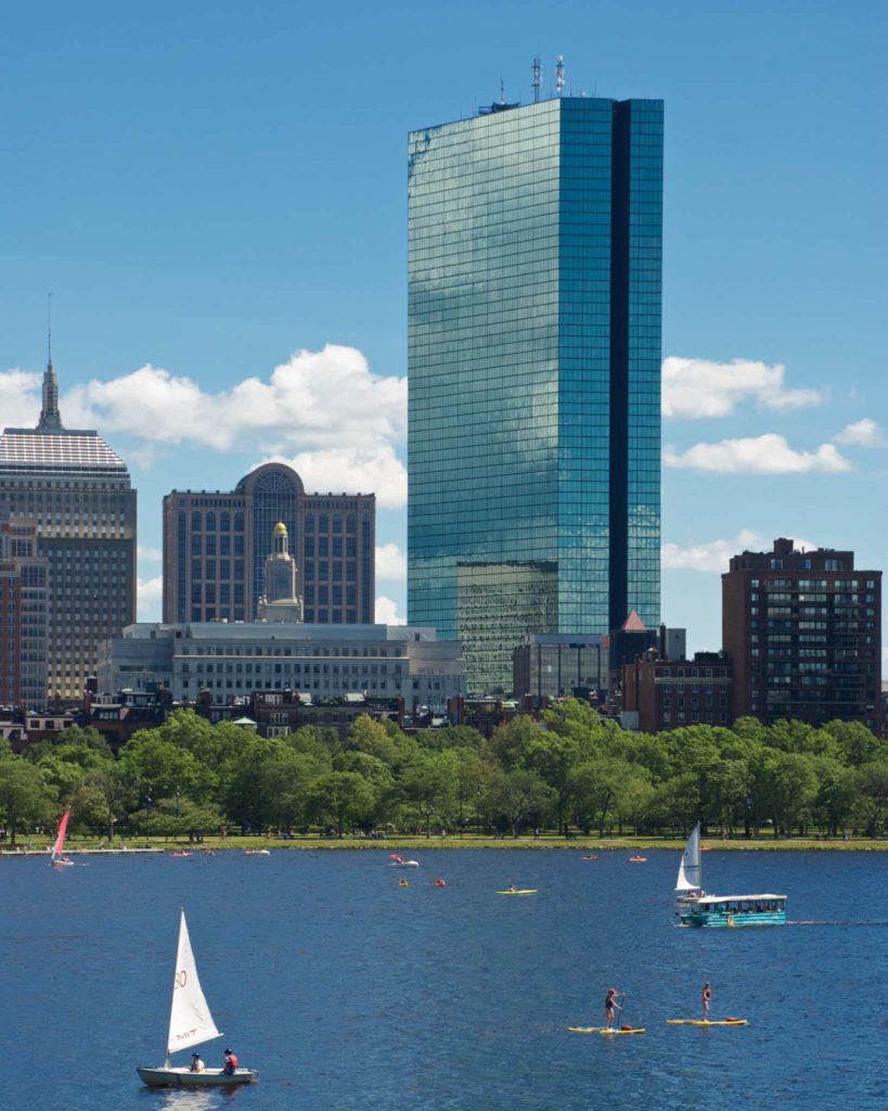
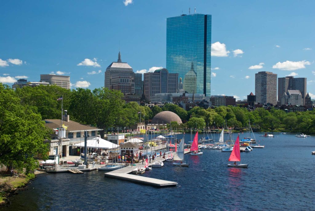
The Longfellow Bridge is being reconstructed, so I walked over the bridge to see how it was coming. The bridge affords an awesome view of Boston, and I was particularly fascinated by the reflections off the John Hancock building.

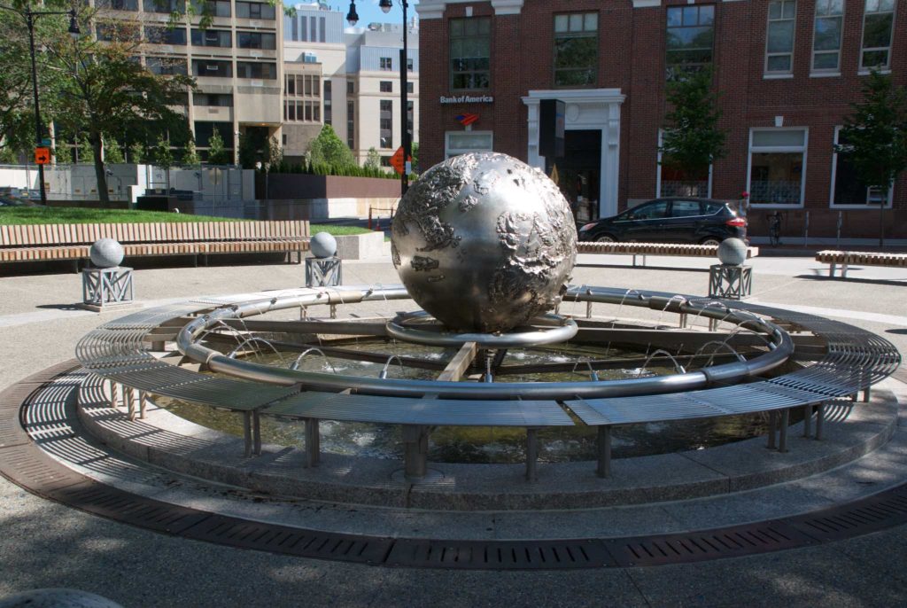
After I crossed the bridge, I continued on through Beacon Hill, doing a little window shopping. Then I decided to visit Ward Maps in Porter Square, because they have a large collection of MBTA signage and maps. I could have hopped on the Red Line at Charles Station, but I was wearing my sunglasses, and wanted to swap them out for my regular glasses. So I walked back to the car, changed glasses, and walked to Kendall Square where I saw this sculpture:

Sculpture/Fountain in Kendall Square

Sculpture/Fountain in Kendall Square

I took the Red Line from Kendall to Porter Square.  Once at Porter, I turned left onto Mass Ave, and started walking toward Ward Maps, only to find them closed due to some sort of electrical problem. They’re a little less than halfway between Porter and Harvard, so I decided to just walk to Harvard Square. I’d never walked this neighborhood before, and it was very interesting — a bunch of small shops, interesting old homes, a colonial cemetery, and a couple of parks. After a quick tour of Harvard Square itself, I got back on the Red Line and took it back to Charles Station. Before I headed back to the car, I got a picture of the bridge reconstruction and the alignment of the temporary tracks the Red Line is running on:

Longfellow Bridge construction

Longfellow Bridge construction

So how was I feeling after all the walking? I was definitely feeling it in my legs last night. My back felt a little better, except a couple of times when I jarred it when I unexpected had to step down over a height difference I didn’t see. This morning I was feeling better — I’m still feeling it, especially after sitting — but better. I’m hoping it’s on the mend.

The Green Line’s “Great Cavern”

I first started using the MBTA in 1977, commuting to Boston College. Up through high school, I’d been dependent on either walking, getting a ride from my parents, or the very limited Canton-Mattapan bus line. I still remember my first trip over to BC that summer, checking out the route to school. The rapid transit line wasn’t very rapid, and the very decrepit PCC streetcar to BC was slow, dirty, bumpy and noisy. I distinctly remember being alarmed by the wheel squeal as we went through the curves in the subway.

But the MBTA opened up new worlds for me. I could get around on my own now. And as I learned to navigate it, I became a railfan. The Boeing Light Rail Vehicles were just being introduced, and I loved them. They were modern, clean and good looking, and if they were a little unreliable, well, they were new. Park Street Station was in the middle of renovations.  I started reading up on the history. And at some point, I noticed that the subway widened out between Arlington and Boylston.

I gradually realized this widening was unusual – most of the Green Line is a two track tunnel, with no space between it. This area is quite wide, with some stub end tracks in the middle, and a lot of empty space. Because it’s wide, underground and  unusual, I dubbed the area “Great Cavern”. But why does it exist? The answer starts with the original opening of the subway.

The Public Garden Incline

The Green Line was not originally a “line”, per se. It was simply a short length of tunnel designed to get all the streetcar lines off the street in the heart of downtown Boston. Tremont Street, where all the lines converged, had become incredibly congested. The solution was to put the streetcars underground. Construction started in 1895, and the first section ran under Tremont Street to the corner of Boylston, including Boylston Station, and then down Boylston Street to the Public Garden, where it veered out of the street and up an incline beside the street within the Garden itself. That incline would become the first part of Great Cavern.

The Boylston Street Subway

The original Tremont Street subway was a great success. It was one of those public works projects that really did what it was supposed to do – reduce congestion – and it helped spur a round of additional subway building. In 1911, the Legislature approved the building of the Boylston Street Subway. The subway was to be built from the junction of Commonwealth Ave and Beacon street, under the Muddy River, then going east along Boylston street to the corner of Tremont street… and there things got unclear. The legislation contemplated an additional two track tunnel under Tremont Street, or adding two more tracks to the Tremont Street tunnel. There were proposals from the Legislature to extend the new subway to Post Office square.

The Boston Transit Commission coped with the uncertainty by building the western sections of the new subway first, but by 1913, got permission to suspend work on the Tremont Street section of the new subway, and “temporarily” connect the Boylston Street Subway to the existing Tremont Street subway. That temporary connection remains today.

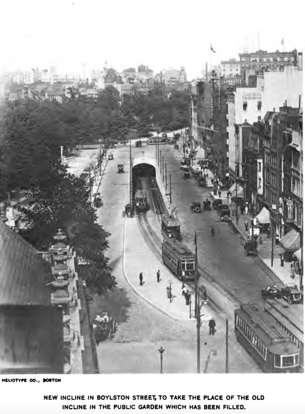
Keeping the original Public Garden incline would have required a “grade crossing” – outbound subway Boylston street traffic would have crossed over the inbound surface track, something that the engineers of that day sought to avoid at all costs. And yet, an incline was still necessary at that location, because streetcar traffic from Huntington Avenue would still be surface-running, and needed to enter the subway there. The solution was to widen Boylston street at that point, seal off the original Public Garden incline, and build a new incline in the middle of Boylston Street, between the inbound and outbound tracks. Enough of the original incline was left underground to act as a siding for car storage.

1914 Boylston Street Incline

1914 Boylston Street Incline. From the 1915 Boston Transit Commission Report.


The Transit Commission chose to deal with the Post Office Square question by deferring it; the Dorchester Tunnel (Red Line) was already under construction and the commission felt that the new tunnel would change traffic patterns; instead it was decided to enlarge Park Street Station.

The final part of the story came in 1941, with the building of the Huntington Avenue Subway. Streetcar traffic was rerouted from the surface of Boylston Street to the new subway, rendering the Boylston Street incline unnecessary. It was sealed off, leaving the large cavern we see today. The MBTA still uses the stubs of the tracks that once led to the surface for equipment storage.