We got off to a leisurely start back on Wednesday morning. After posting the previous day’s travels, we headed out to breakfast at the Cracker Barrel near the hotel, then headed back to Matt’s apartment to pick him up so I could get the nickel tour of the Florida State campus, and Brian could hit the bookstore to pick up some FSU merchandise. The campus is impressively big, but modern. It felt like it was bigger than the Boston College campus, but then, BC’s campus is tri-level, and I spent most of my time in middle campus.
And then we brought Matt back to his apartment, and it was time to hit the road. Brian had plotted a route that was mostly back roads to take us into western North Carolina.
We started on Route 27 out of Florida, and into Georgia. Nice road; for the most part we were able to maintain a reasonable speed, but it still had tons of farms and scenery. At one point we saw a sign for a general store; we stopped, and it was like something out of the thirties.
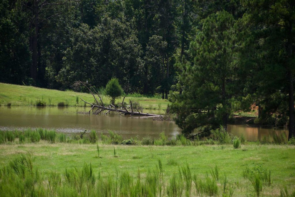
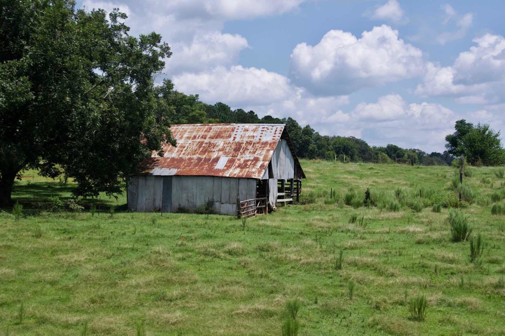
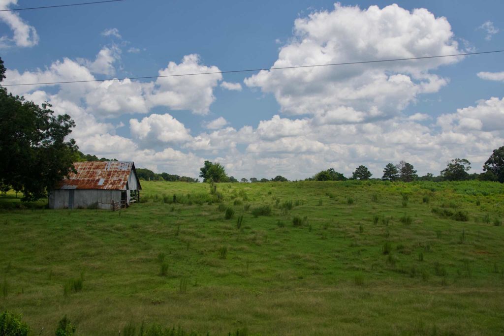
Eventually, we skirted Atlanta on the interstate, passing by Marietta, where my Aunt Dot used to live. If she were still around, we definitely would have stopped.
During the afternoon, we passed through a corner of Tennessee, ending in Asheville, North Carolina.
The only hitch was that the whole day, I was burping up breakfast. Damn you, Cracker Barrel. By the time we got to the motel, I was tired and slightly achy all over, and uninterested in dinner. I sent Brian off to get something to eat, and fell into bed.
Fortunately, the hotel had a free breakfast, and was able to to have avoid fried food for breakfast the next morning. Feeling somewhat better, we set off for Virginia via the Blue RidgeParkway, after making an abortive attempt to see the Biltmore Estate, and discovering that it was massively overpriced.
The scenery was gorgeous. There are overlooks all along, and we stopped at several. At one overlook, we took a short hike up to a mountaintop overlook. We drove up to the top of Mount Mitchell. the tallest mountain east of the Mississippi, even though from it, you can see another mountain that looks taller.
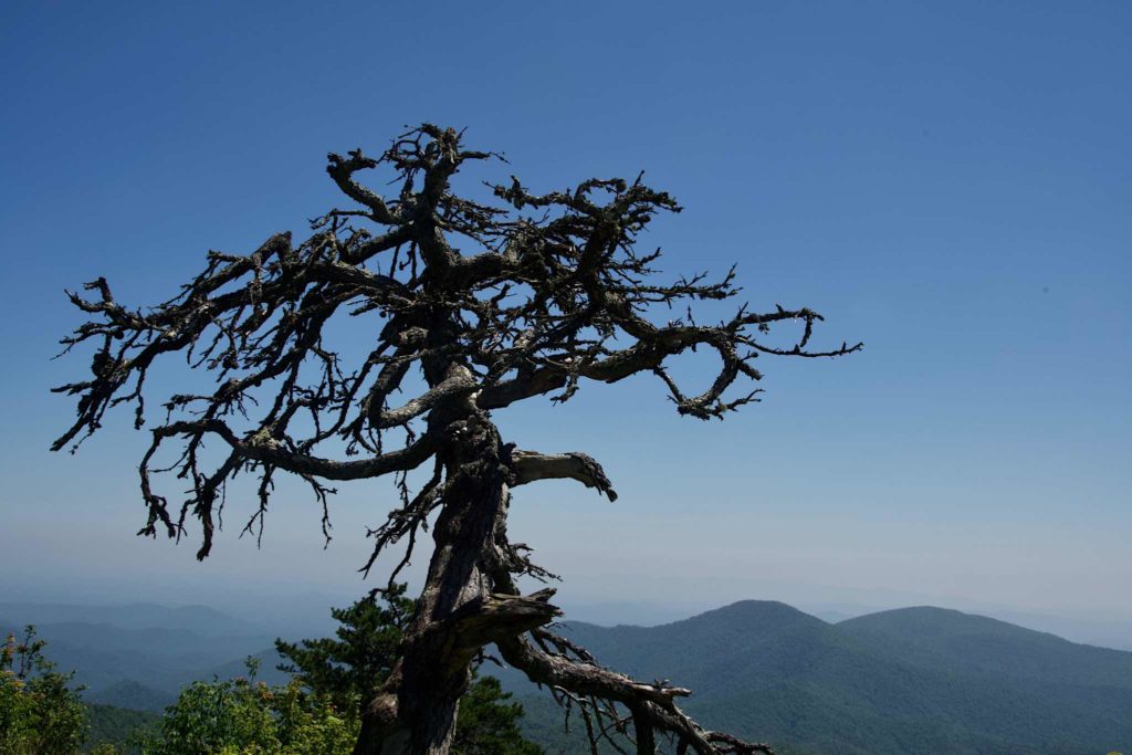
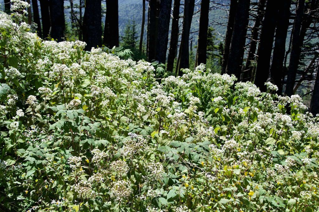
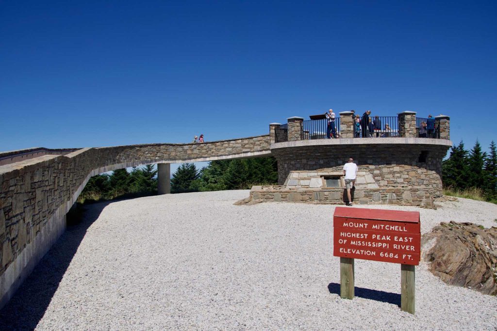
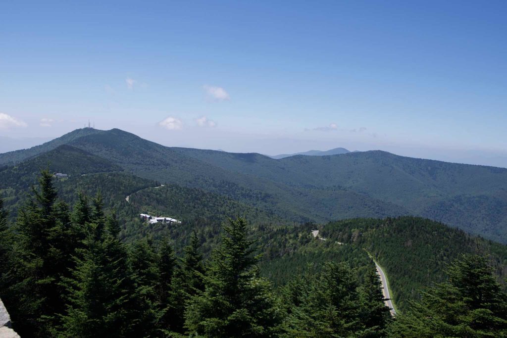
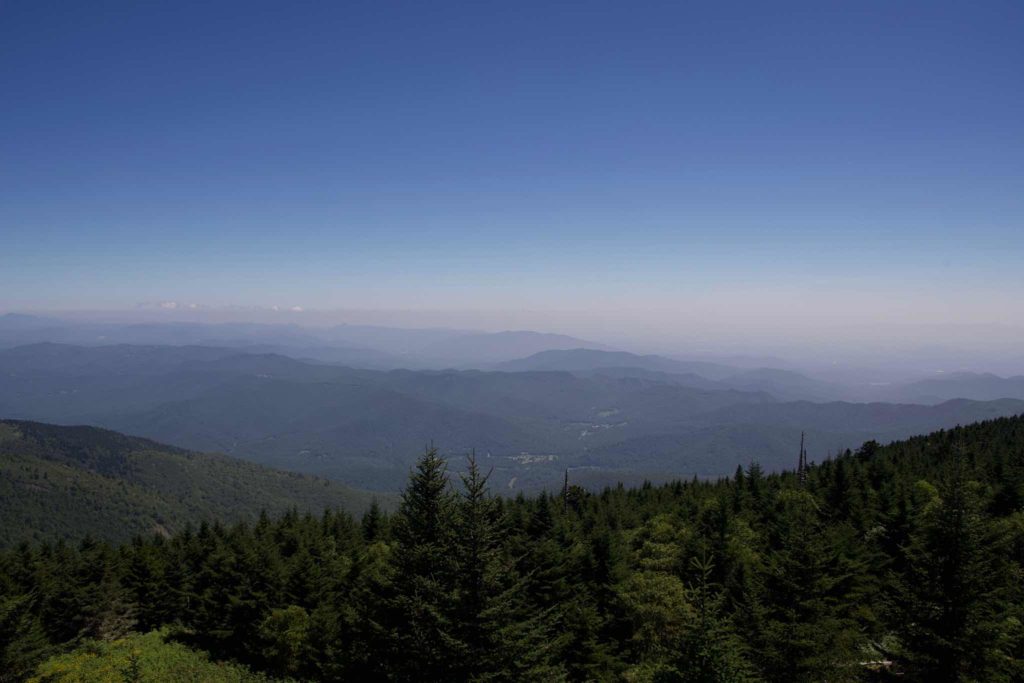
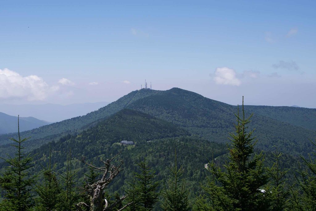
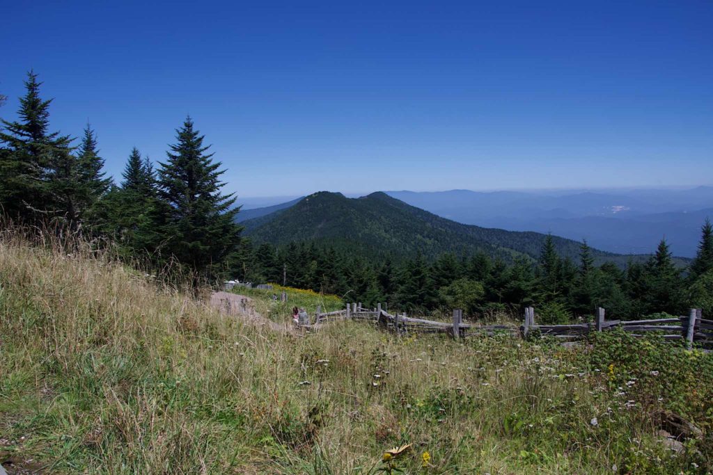
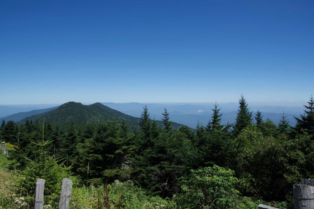
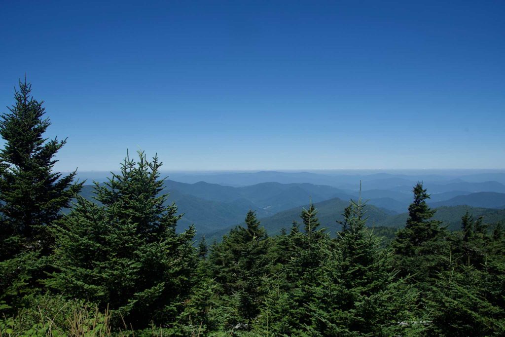
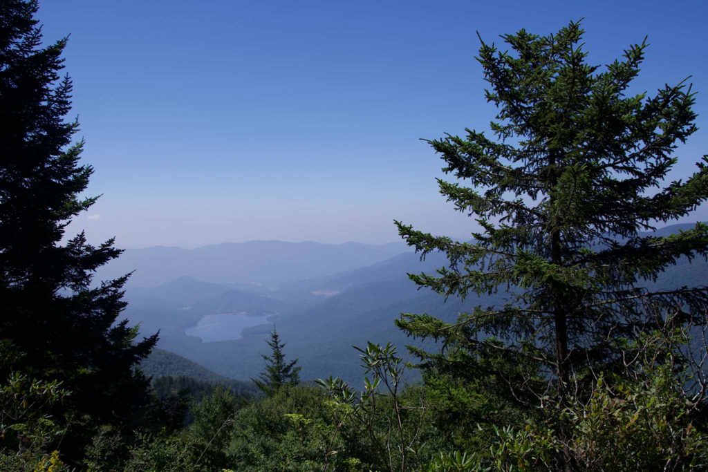
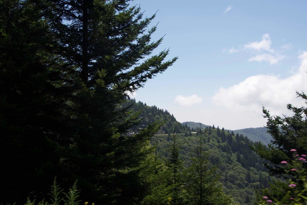
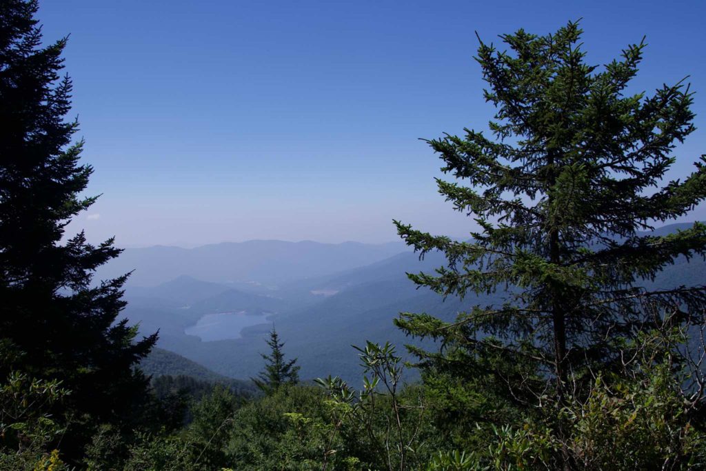
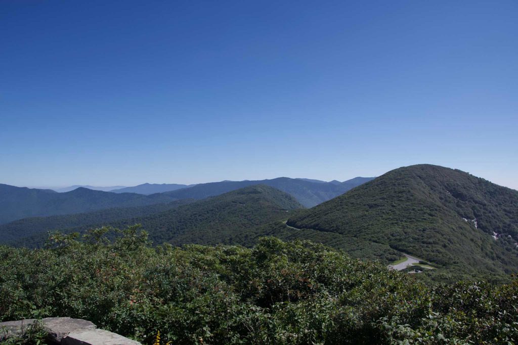
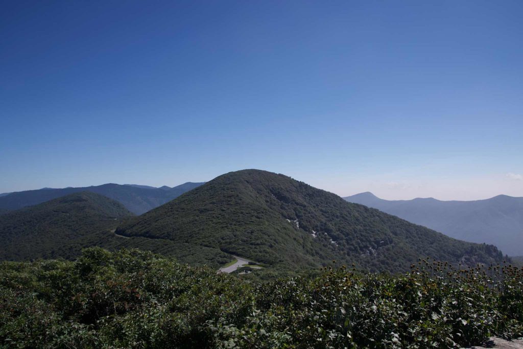
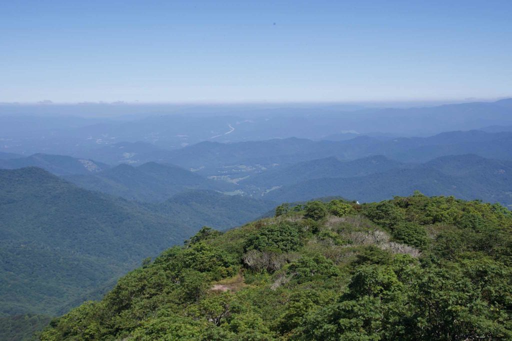
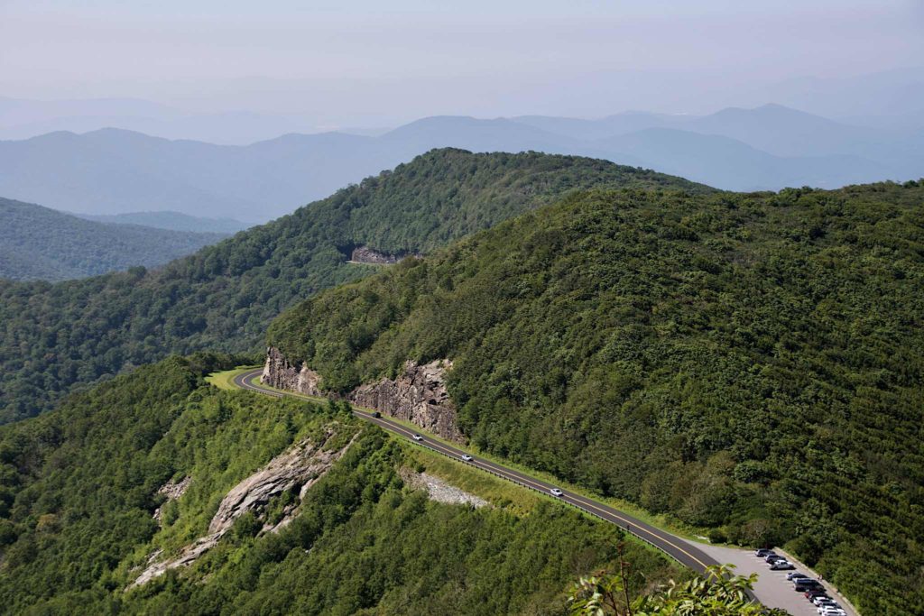
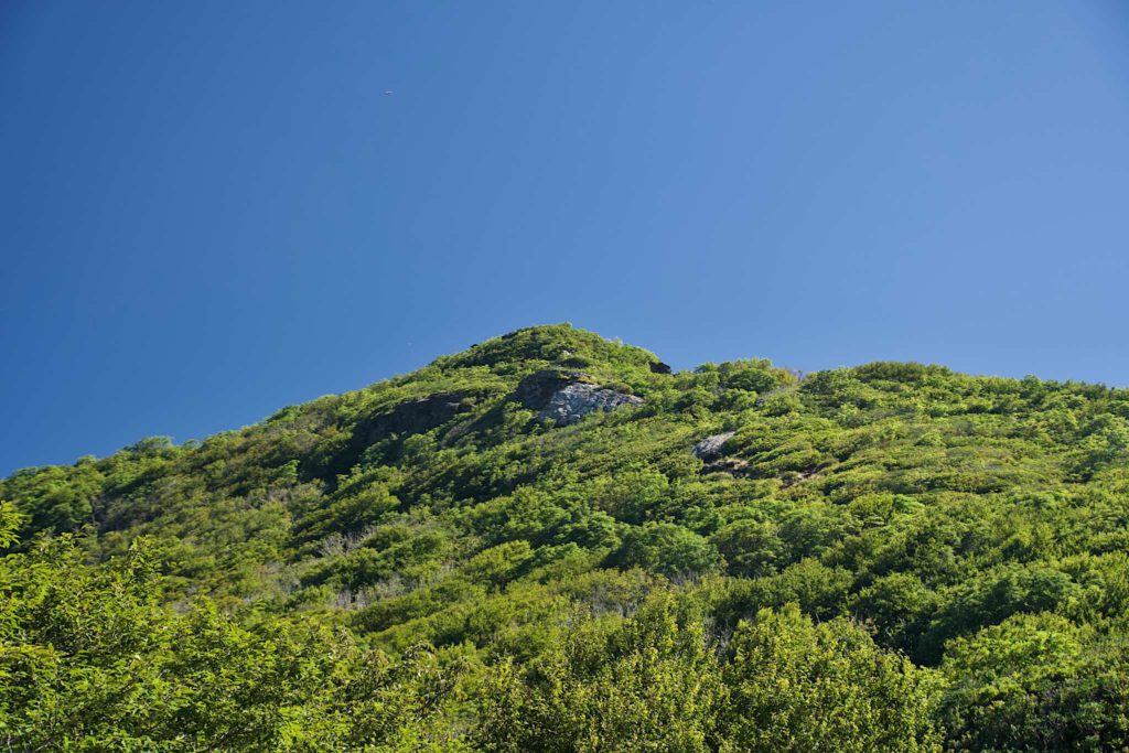
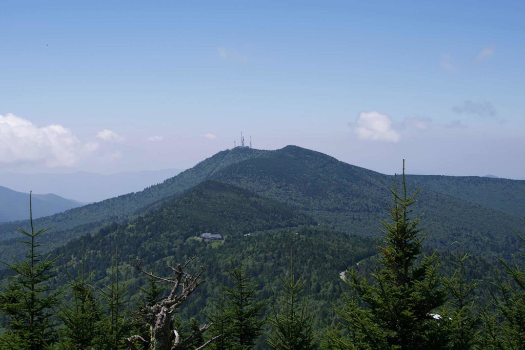
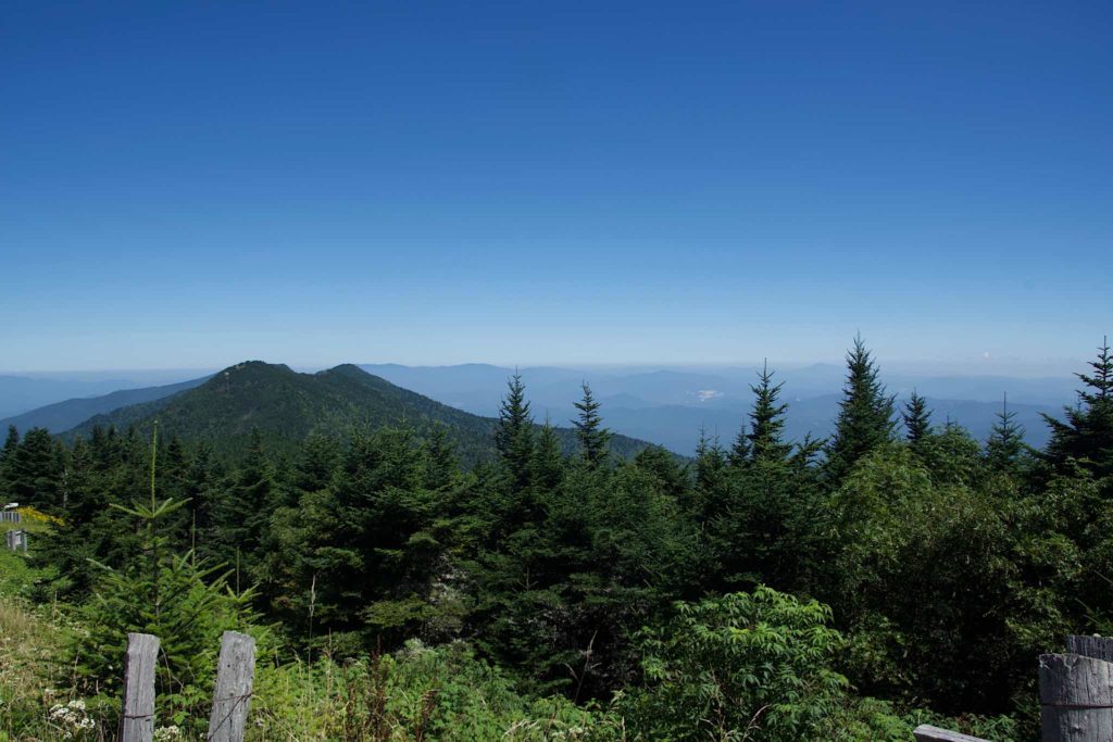
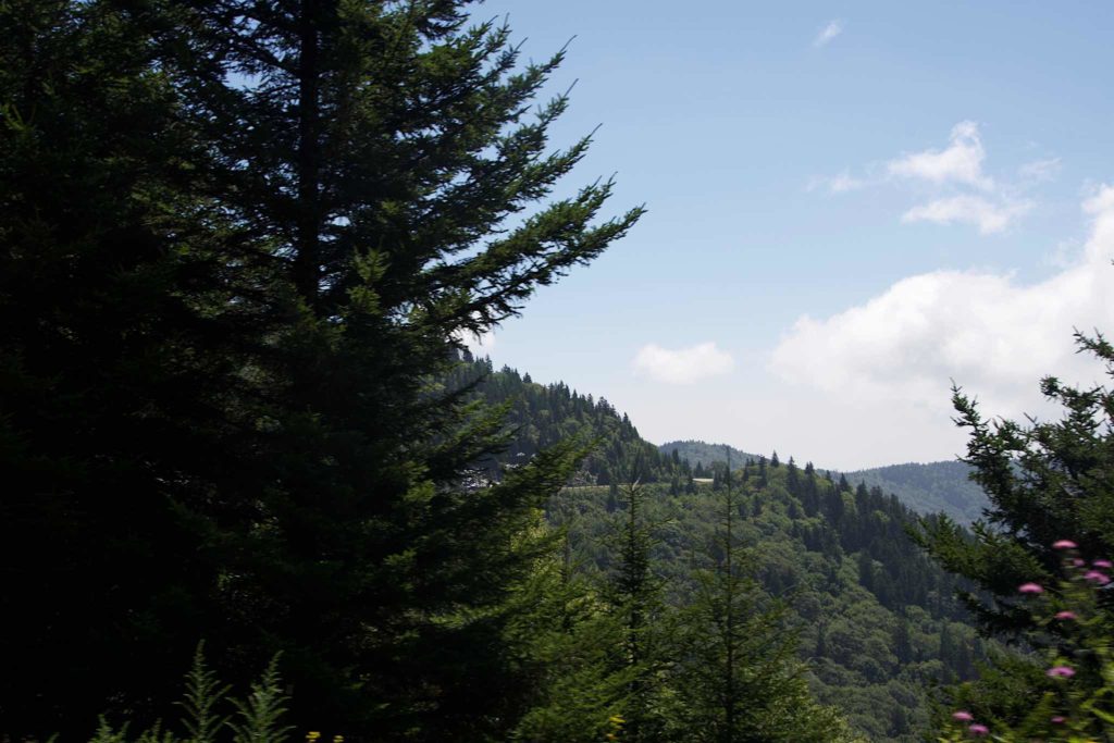
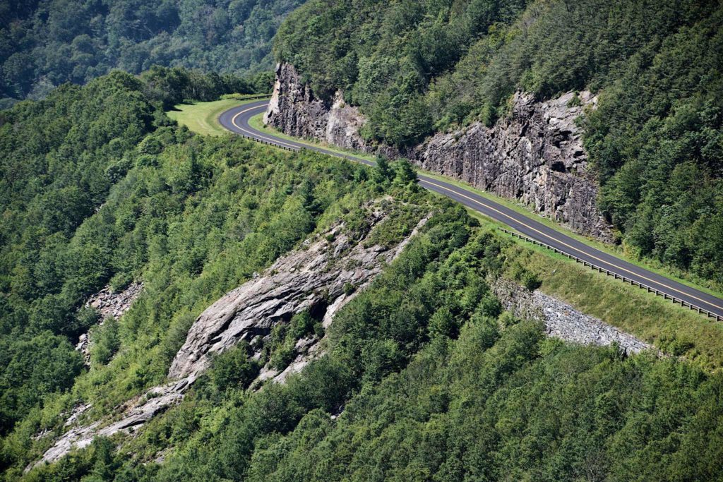
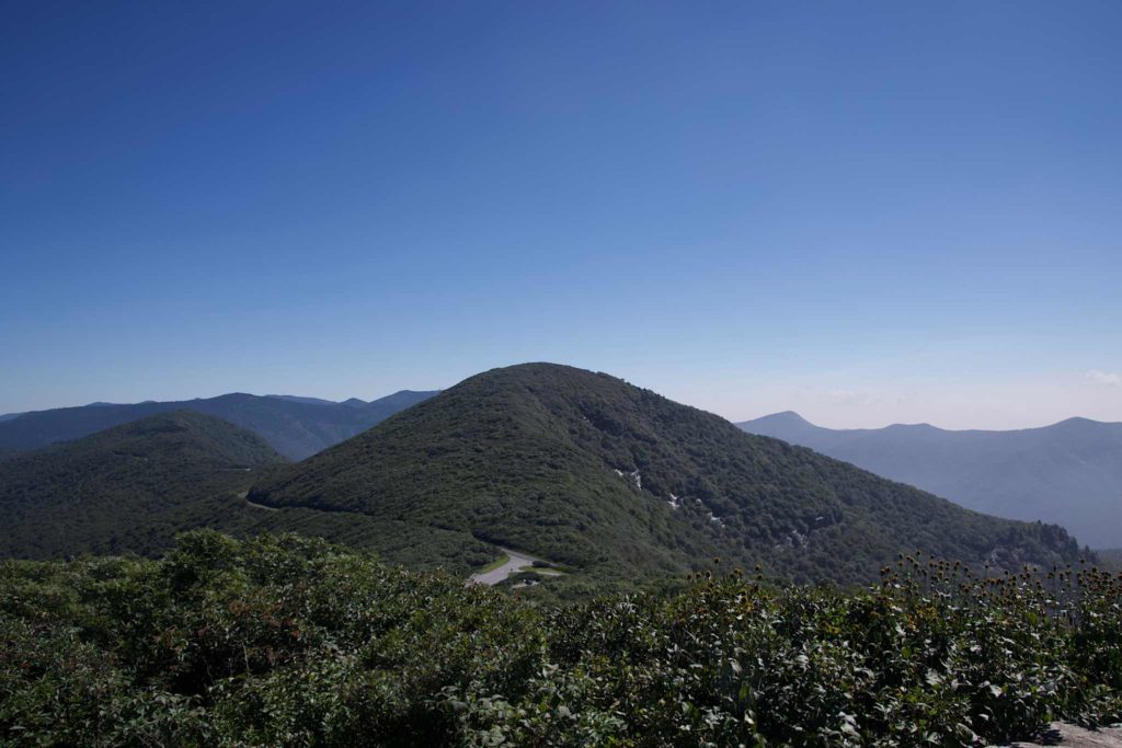
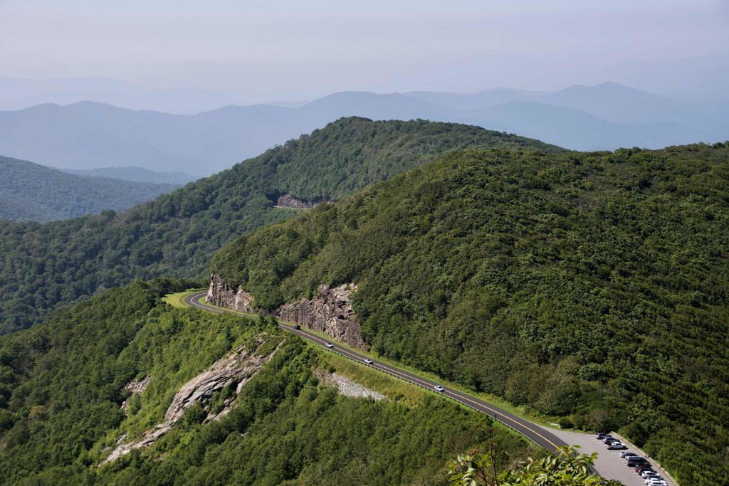
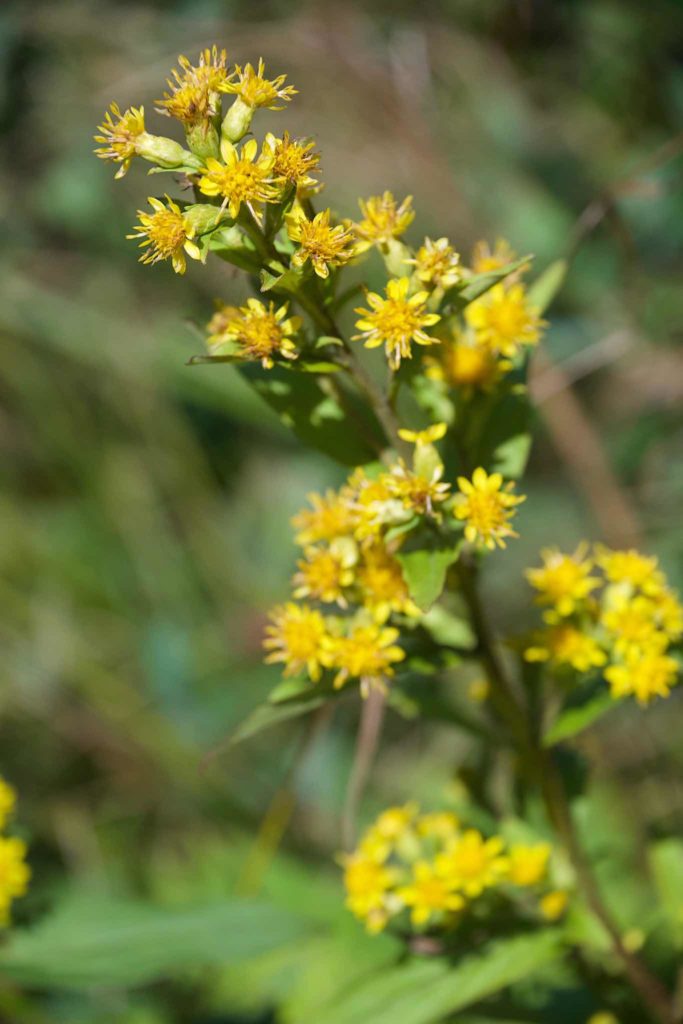
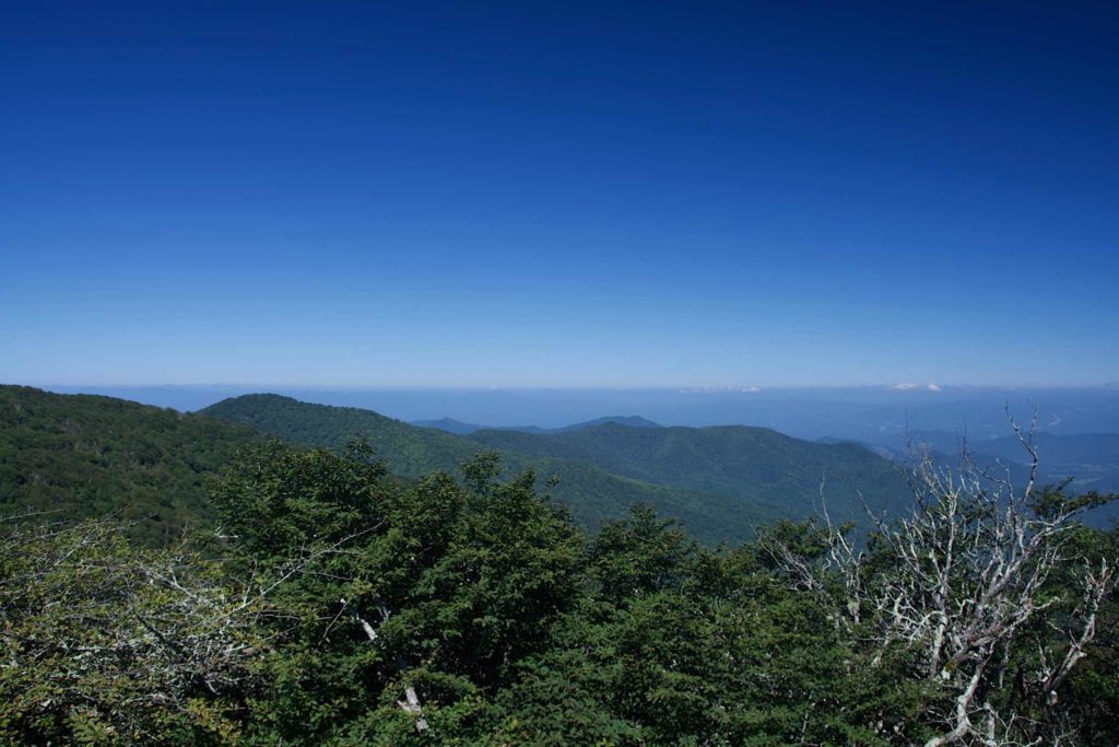
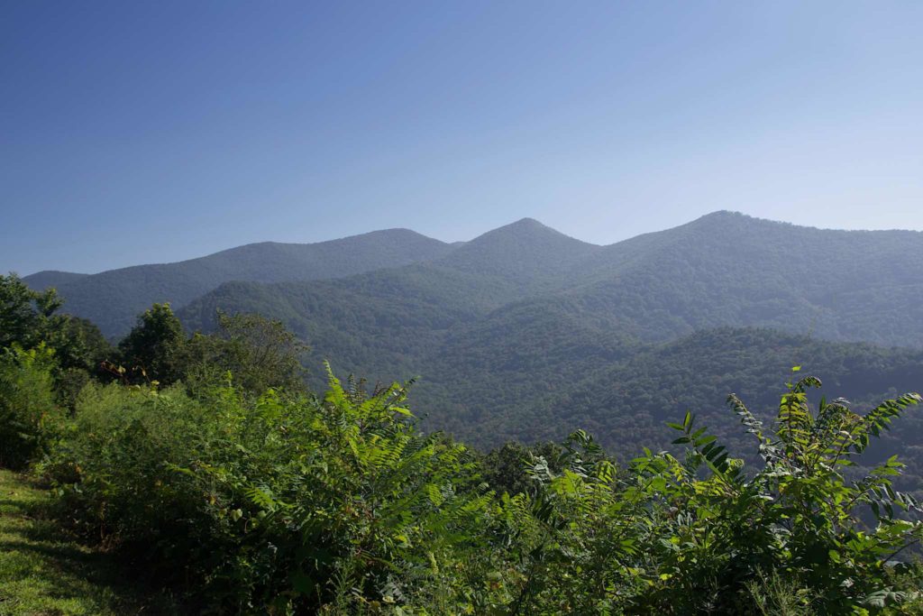
I also discovered that drones are not tolerated in parks. I hadn’t realized it was a “park”; I thought it was just a road. So we pulled over, and I flew the drone out over the valley, and the next thing I knew, a ranger was telling me to bring it back in. We then had to wait for another ranger to come, check my id, and issue a warning. I didn’t get much video — I need to figure out what’s going on there — but I did get some photos:
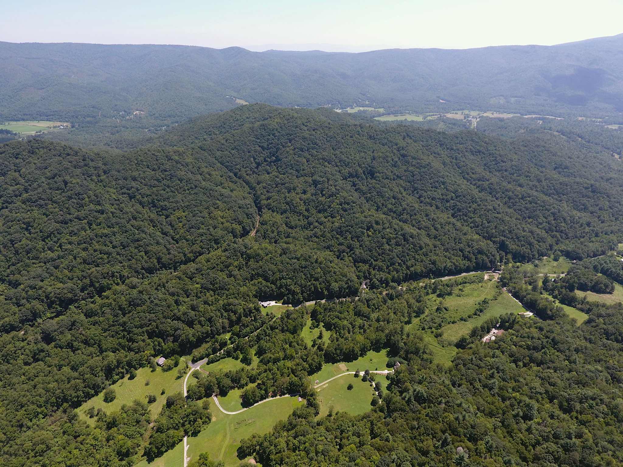
After the rangers departed, we took a look at the time, and decided it was time to make up some time. We got off the parkway, and headed up to Waynesboro for the night.
Friday was the last day on the road. We skipped breakfast, as my stomach was not in a stable state, and headed onto the Skyline Drive, bound for Gettysburg.
We spent an hour or so on the Skyline Drive. It’s gorgeous. At one point, we saw a deer, and another, a bear cub.
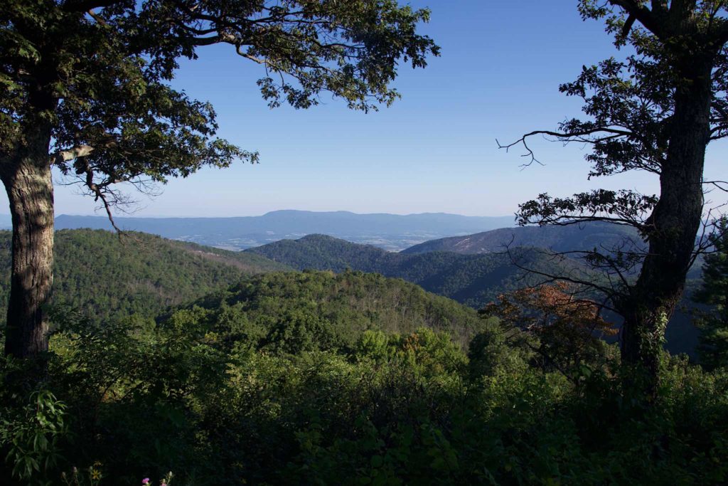
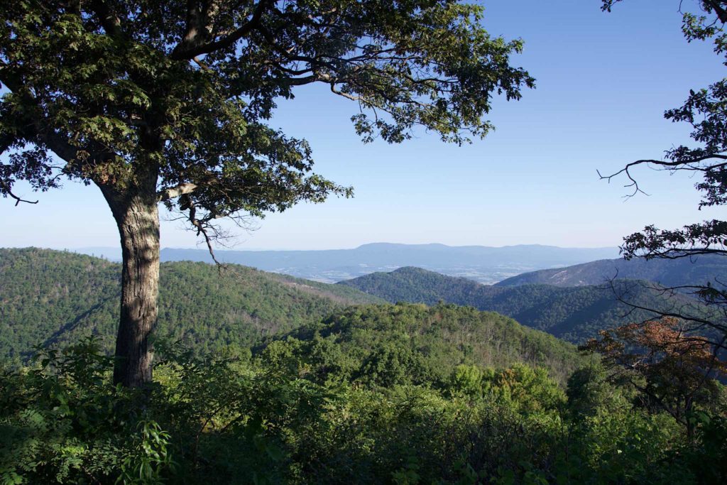
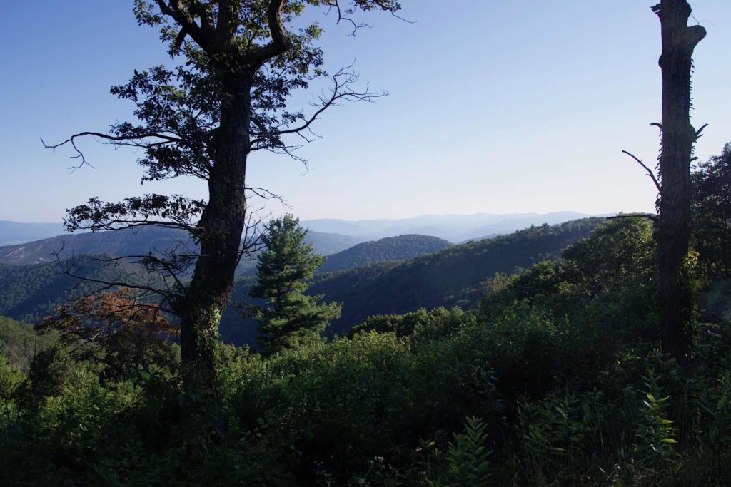
We would have liked to have spent longer on Skyline Drive, but we needed to get to Gettysburg reasonably early. We spent some time on local Virginia roads, where we saw the Shenandoah River, and then switched to the Interstate to get to Gettysburg.
We got there around noontime, and stopped at the visitor center, where we saw a movie about the battle, and saw a huge cyclorama of the battle. Then we did an abbreviated version of the self-driving tour.
Gettysburg surprised me. First off, Gettysburg was and is an actual town, with an existence apart from the battle. The battle happened because the town roads were there. So when you do the self-driven tour, you drive out of the visitor center, past a huge cemetery (the townspeople were the ones who got stuck dealing with all the dead and wounded), into the downtown, past McDonalds and insurance offices, and then you pass some older houses, take a left and you’re on Confederate Road, where the Confederate troops were massed.
I was surprised by how big the battlefield was. The field the Confederates had to cross was huge, and the rock formations the Union troops were defending from were tall, and afforded a good view of the approaching troops. I don’t understand how Lee possibly thought he had a chance.
Gettysburg is a place where you could spend a lot of time if you wanted to, but we were just about out of time. We drove around the battlefield for an hour or so, sometimes getting out, but for the most part just looking, without stopping to read the markers. We were done for the day by 3, when we started the eight hour trip back home.
Overall, I really enjoyed the trip, gastric issues aside. For me, it was kind of a reconnaissance trip — I bought the bike to do some touring, and I was taking mental notes along the way. Hopefully, I’ll pass by these ways again.
