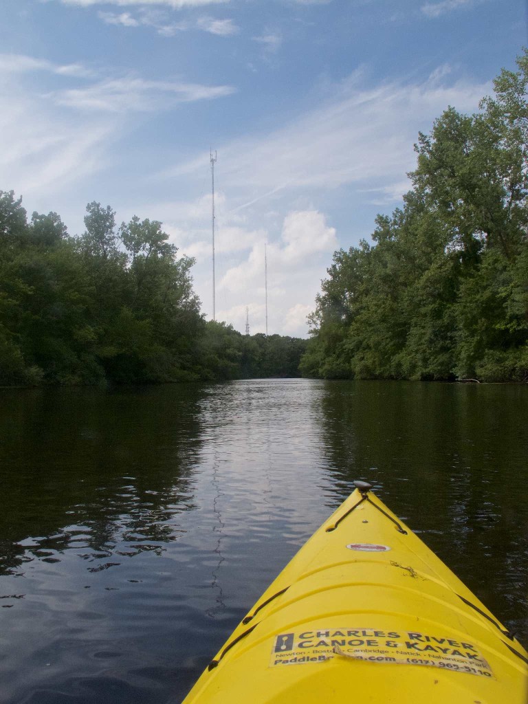
Sunday, I paddled downstream from Charles River and Canoe and Kayak’s Nanhanton Park location. Unlike the upstream side, which runs about 14 miles, this is about a two mile trip before you have to stop just short of the Silk Mill Dam.
The character of the river is different here too. Upstream, at least until you’re well past Millennium Park, you’re paddling through a wide area of wetlands. There’s very little shade upstream – there’s a wide buffer zone of swamp grasses between the water and the trees. And once past the Kendrick Street bridge, you’re further away from manmade structures.
Downstream, it’s different. The river is narrower, and the trees crowd the river, providing lots of shade. There are many more human structures nearby, starting with the radio towers looming in the distance.
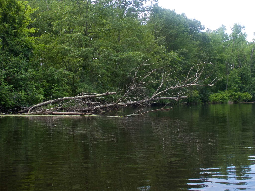
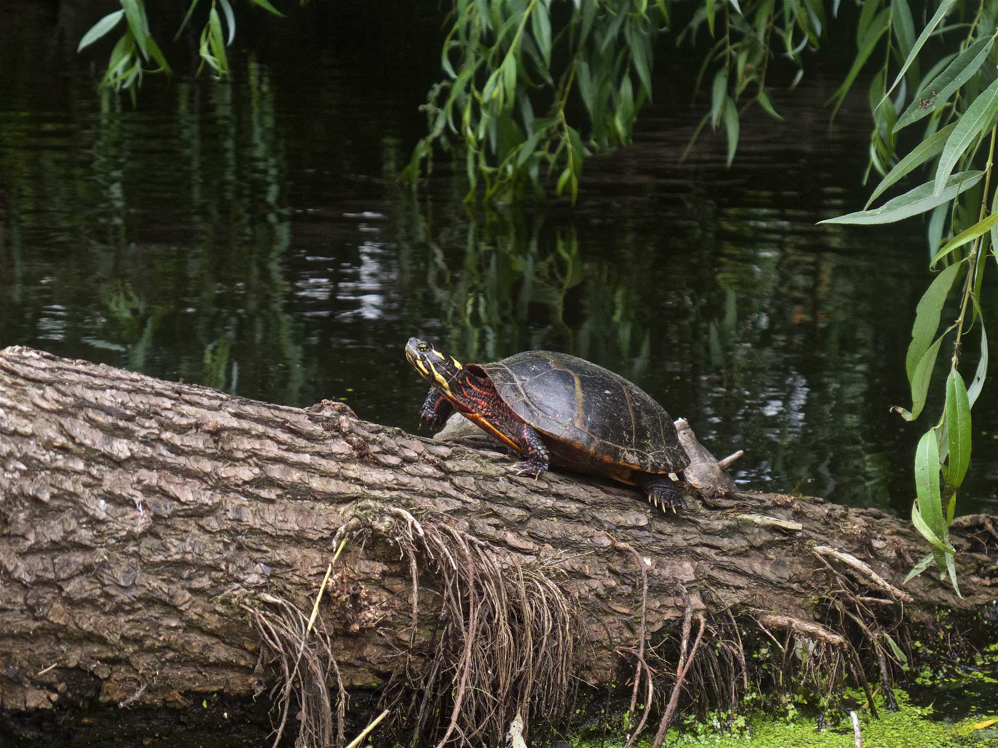
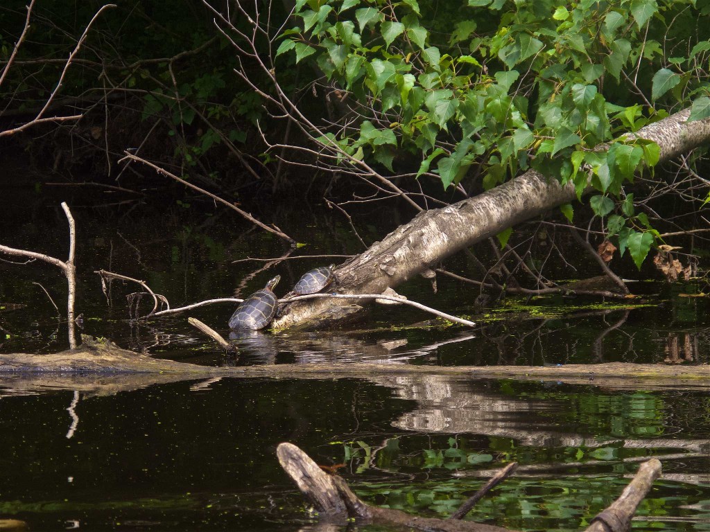
Often, when paddling the Charles, both last year when I did the shuttled trip upstream, or when paddling from the Newton boathouse, I see lots of waterfowl – ducks, canadian geese, herons, egrets, and my favorite, the swans. But for some reason, on Sunday, I didn’t see any. But my word, were there a lot of turtles. It seemed like every dead tree sticking out of the river had a small painted turtle basking on it.
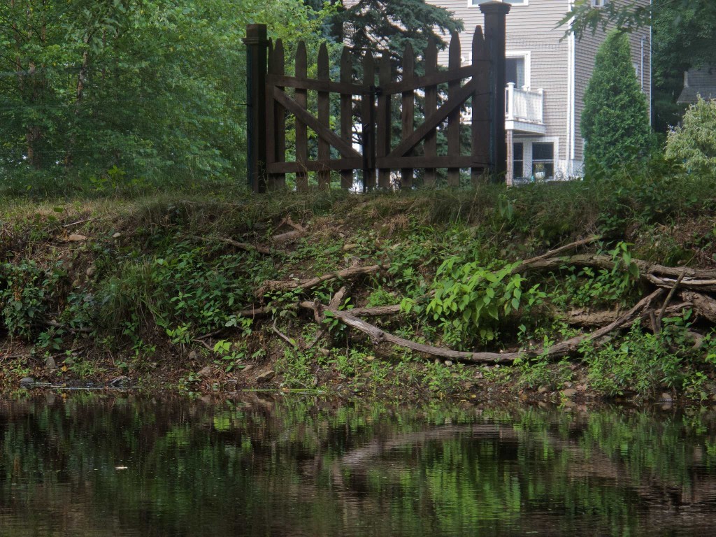
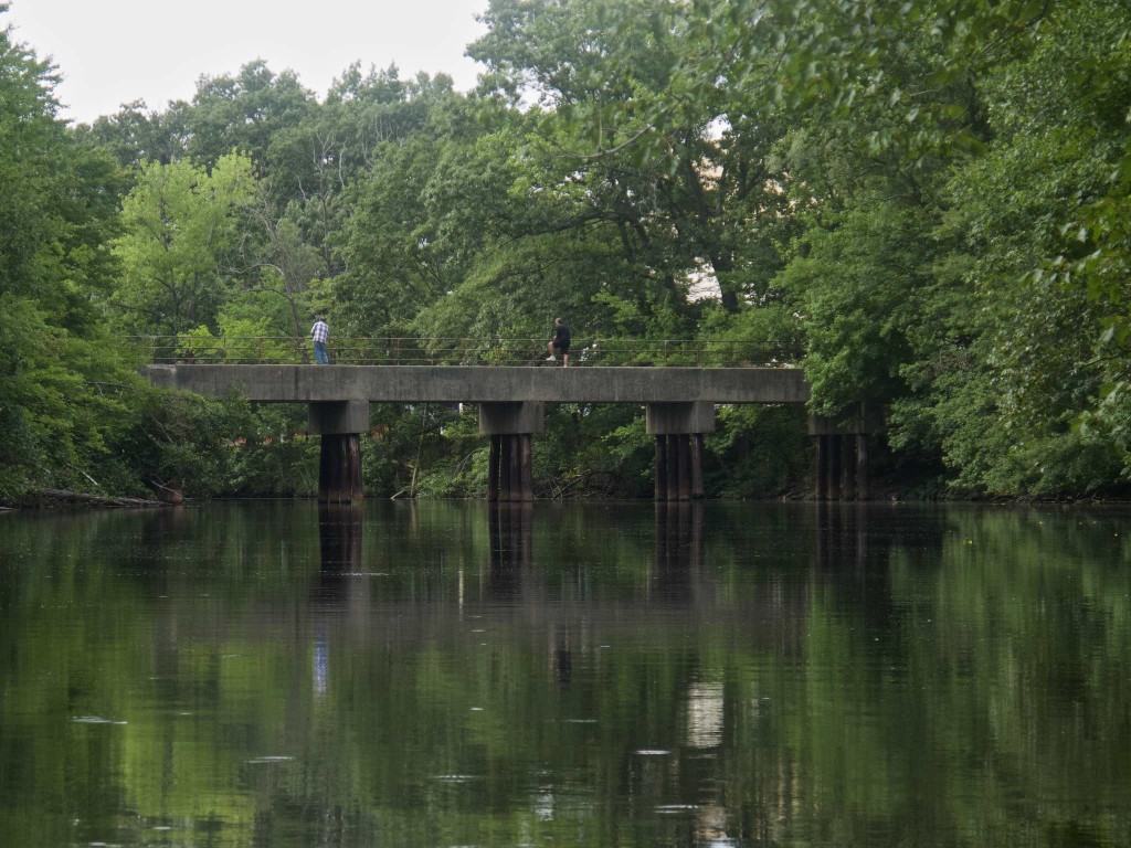
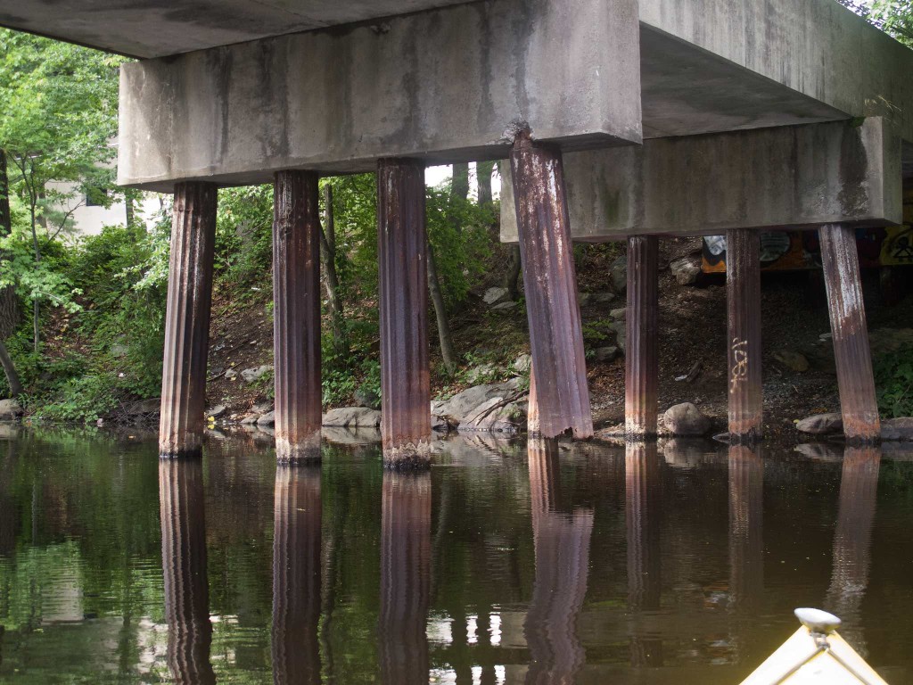
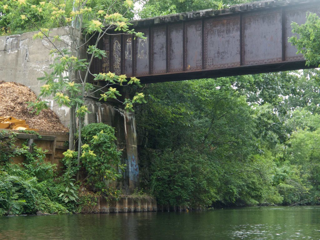
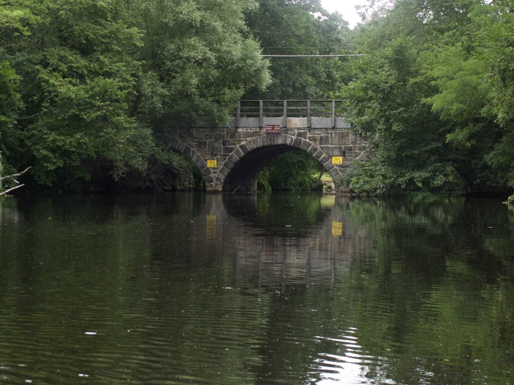
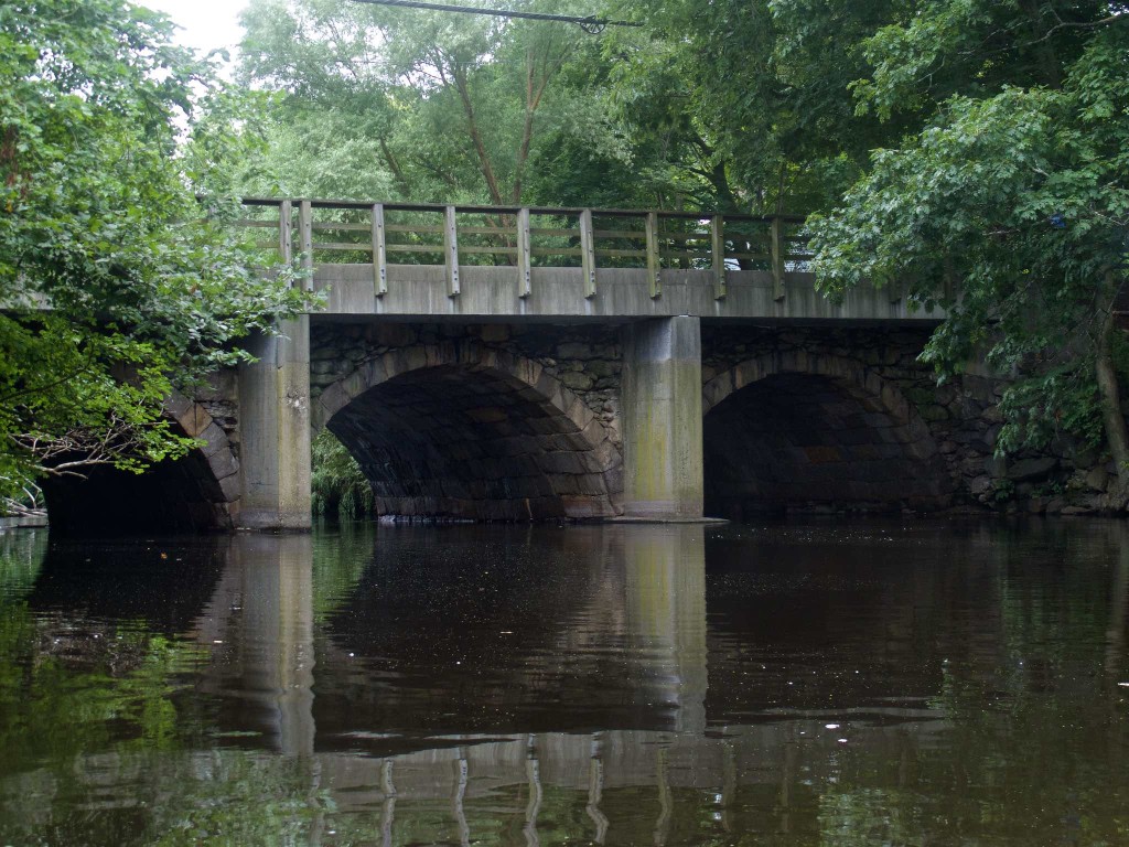
I did pass by a golf course, and some homes, but my overall impression was of passing through an industrial, historical area. There are businesses on both sides at various points, and all of the bridges on the downstream leg are old. I passed under two different abandoned railroad bridges – one has become, de facto, a pedestrian bridge, some of its supporting piers corroded away above the water line. The other, which formerly served the Charles River Railroad, is higher, and appears to be in somewhat better shape, but it too has been abandoned. I noticed afterward that the railroad continues on, over Route 128, so it must have been in active service at least at the time the highway was built. Even the road bridges seem historic from the river – you don’t notice it driving over them, but both the Highland Ave and Central Ave/Elliot Street bridges are old stone bridges.
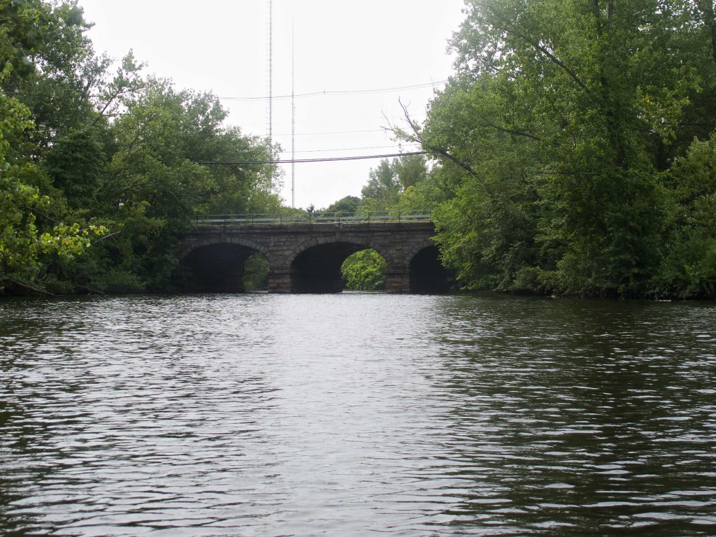
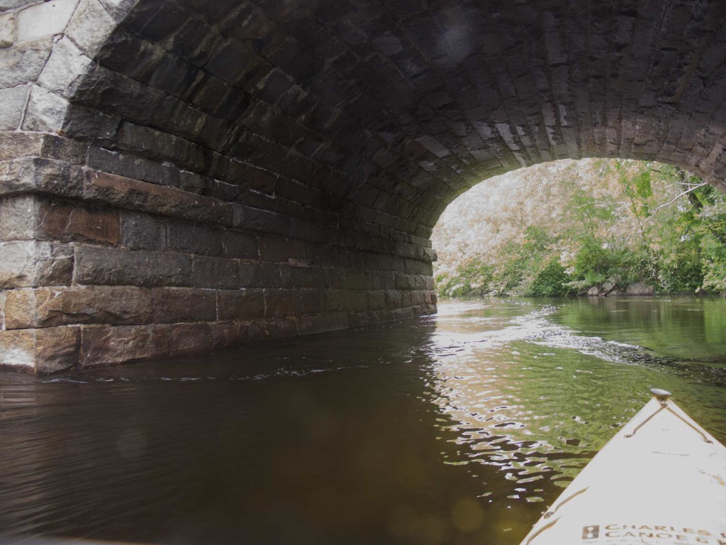
There was a fairly steady current downstream. We’ve had a lot of rain this summer, and it’s quite noticeable in spots that the water level was much higher recently. I’d intended to do this trip a couple of weeks ago, but couldn’t because of the current. Even now, the current was pretty noticeable for most of the trip, and especially strong under a couple of the bridges, where the embankments funnel the water under the bridge.
Eventually, I reached the Central Ave/Elliot Street bridge, and the Silk Mill dam, and it was time to turn around. The dam is dangerous, and I didn’t get very close, especially with the current running – I just went a little way past the bridge, far enough to see the mill, and kind of see the dam, and turned around. (On the other side of the dam is the Hemlock Gorge area, and Echo Bridge, which carries the old Sudbury Aqueduct over the Charles – more history.) It was interesting to note that on the other side of the Central Ave/Elliot Street bridge, the bridge deck had been extended using a series of concrete buttresses tacked onto the original stone bridge structure.
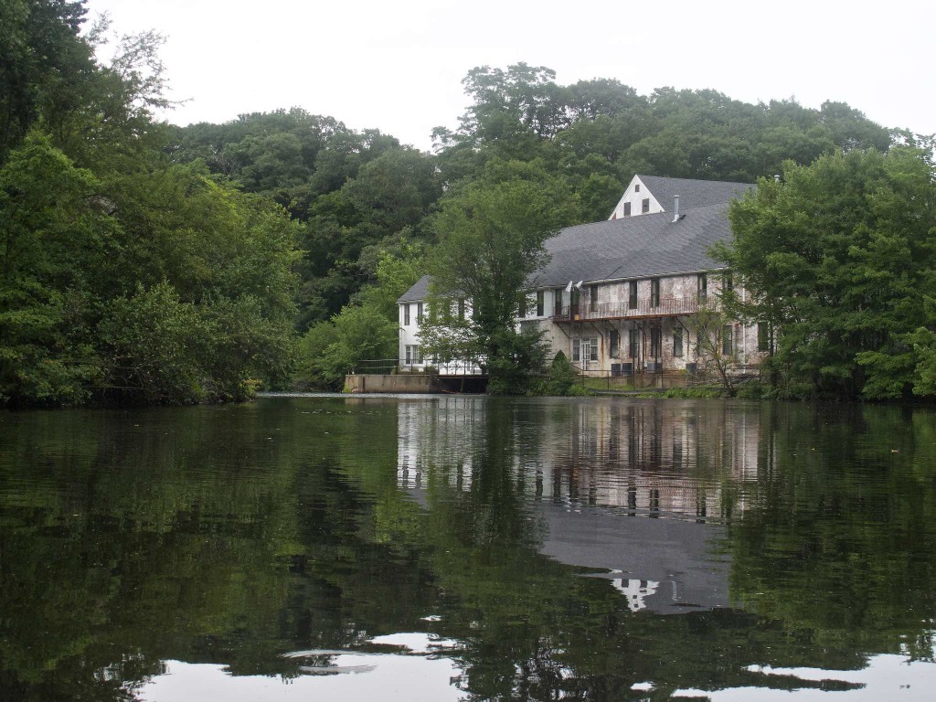
Heading back up stream, the current was very noticeable, and I finally became aware of the fact that my camera housing was fogging up inside. When kayaking, I use the same waterproof housing that I use diving, minus the tray, arm, strobe and special preparation. It keeps drips off the camera, but any humidity inside the camera is trapped inside – and we’ve had a lot of humidity lately. The camera warms up when it’s running, drives the humidity out, where it condenses on the inside of the housing, fogging up the viewport.
So between the fogged up camera, the stiff current and the lowering, threatening clouds, I had little reason to dawdle heading back up stream. It was work getting past the downstream railroad bridge and especially the Highland Ave bridge, but I made decent time, and soon I was back at the dock. It’s an interesting area, and I’m sure I’ll be back again sometime.

