We’ve had a ton of stormy weather over the past few weeks, and a lot of water has fallen, so it was not a surprise to see a river flood warning on my phone the other day. When I took a closer look at it, though, even though it was tagged for this town, it was in reality for Norfolk county, specifically the Dover-Medifield area.
I’ve become familiar with that area, first from rides on the motorcycle, and also from a number of kayak trips. My first drone flights were from the grounds of the old Medfield State Hospital. So I decided to head down and take a look. The alert mentioned some road flooding, but I figured I could always stop short and turn around.
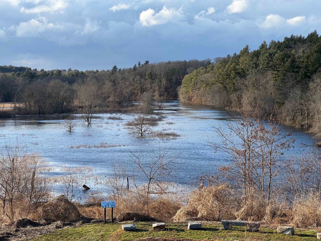
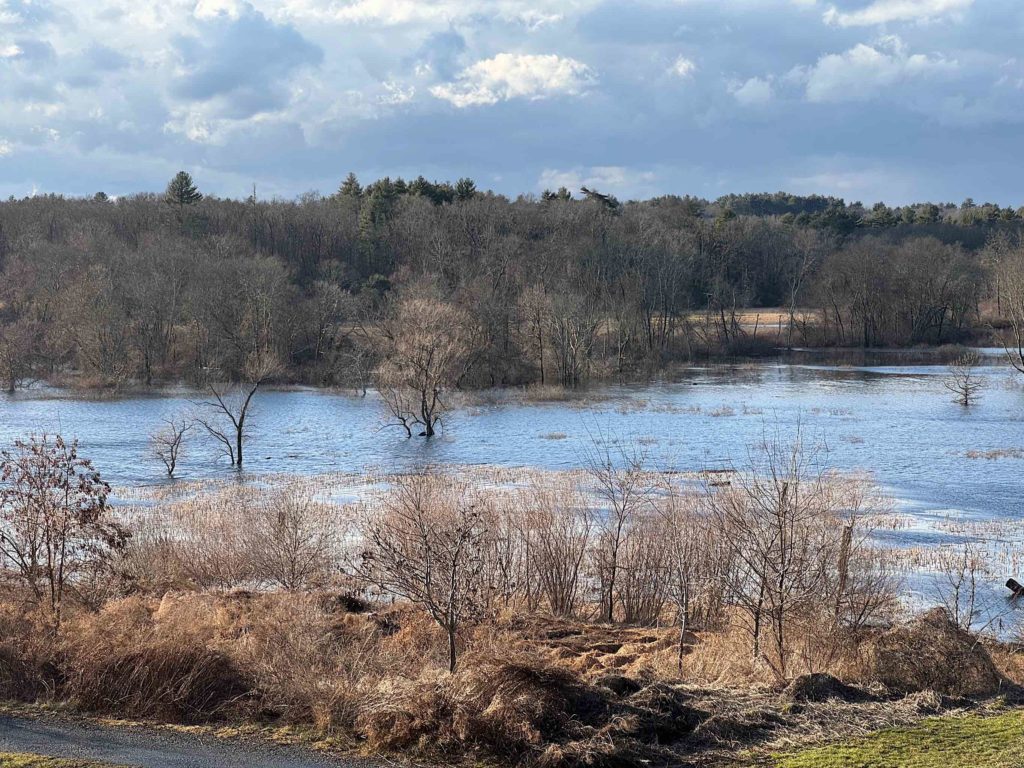
My first destination was the Charles River Gateway at the old State Hospital. It overlooks a bend in the river where the state has restored wetlands. The wetlands were completely flooded.
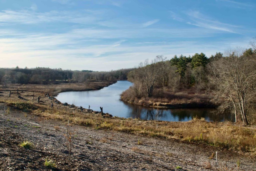
Here is a view from the same spot in November of 2015:
Wetlands like these are an important part of flood control, as they allow the water to spread out horizontally, and be discharged gradually.
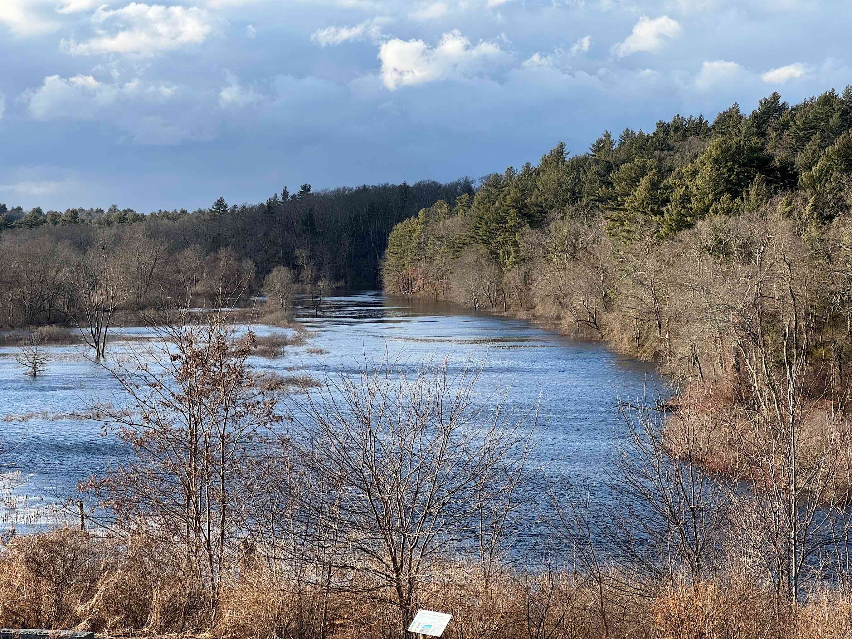
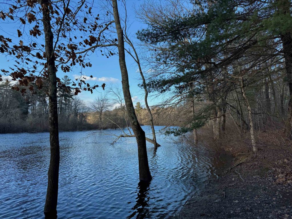
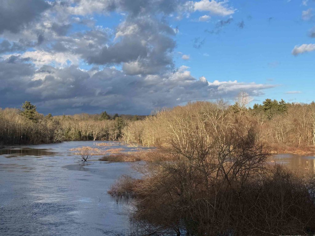
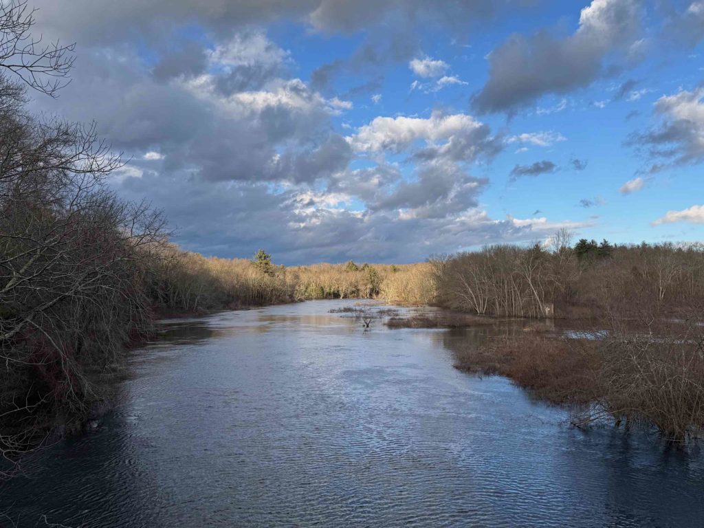
From there, I took a short walk along the footpath, then returned to the car and drove over to Route 27, about from the far end of the river in the picture above. By that point, the clouds had started to return; some parts of the sky were clouded over, while other parts were open, spotlighting the trees below.
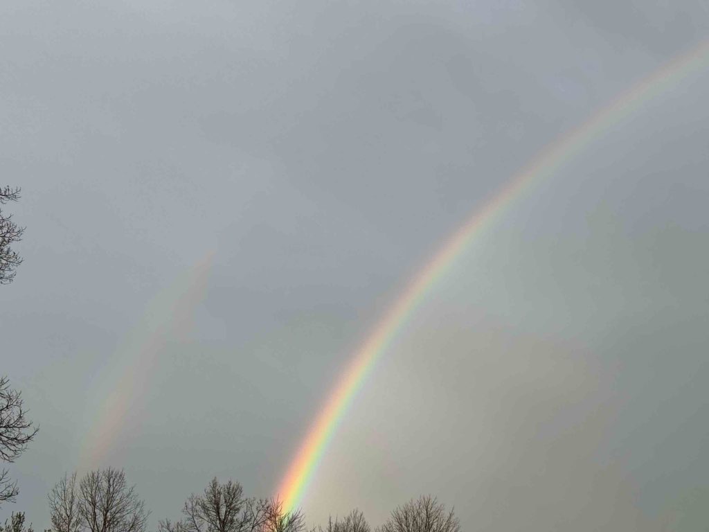
I ended the day with a cup of tea at a nearby Dunkin Donuts. As I came out, it started to pour briefly, and then I noticed a fantastic rainbow.
