When I was working in Providence, I often rode the East Bay Bike Path after work. It was close by, relatively flat (except for one killer hill) and scenic. One of my favorite pieces of scenery is the the Pomham Rocks Lighthouse, which sits on an outcropping of rock quite visible from the path. I’ve been wanting to see it up close for a long time, and now that I have my own kayak, I can. Saturday, I finally made the trip.
I decided to do the trip from the landing in Haines State Park. If I’d known the geography of the area better, I might have started from Sabin Point Park, or from one of the parks on Bullock Point Avenue, but I knew about the landing from riding the bike path, and checking the map, it looked doable. Leaving from the landing would mean paddling out of the harbor at Bullock Cove (lots of nice boats there!) and then northward along the coast to the lighthouse, a distance of, I’d guess, about 3 miles each way.
The outbound trip was quite nice. It was warm, sunny and dry; not too humid. The sea was relatively calm. The coast is scalloped there; I followed the shore pretty closely from the harbor to the first point, then headed directly to the second point, which turned out to be Sabin Point.
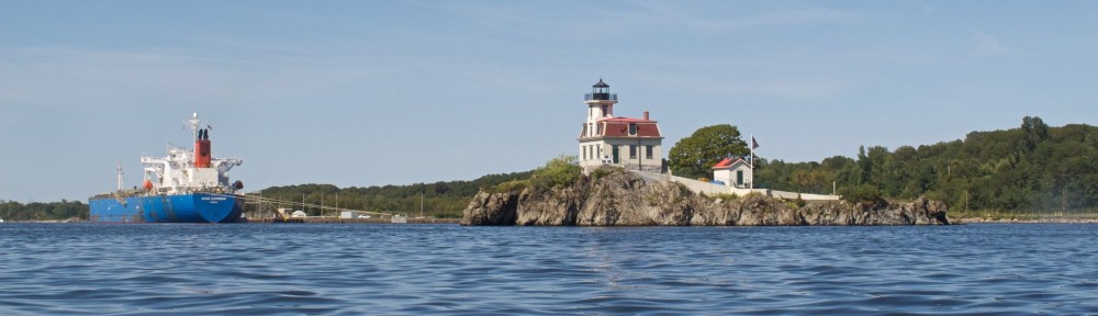
As I got closer to Sabin Point, I could see the wind turbines opposite the lighthouse on the western shore. After rounding the point, I could finally see my destination: the lighthouse and a tanker at the tanker terminal just beyond. I could also see a freighter on the opposite shore.
From Sabin Point to the lighthouse took me about half an hour or so. I had the G12 in the underwater housing with me, and was able to get a number of shots.
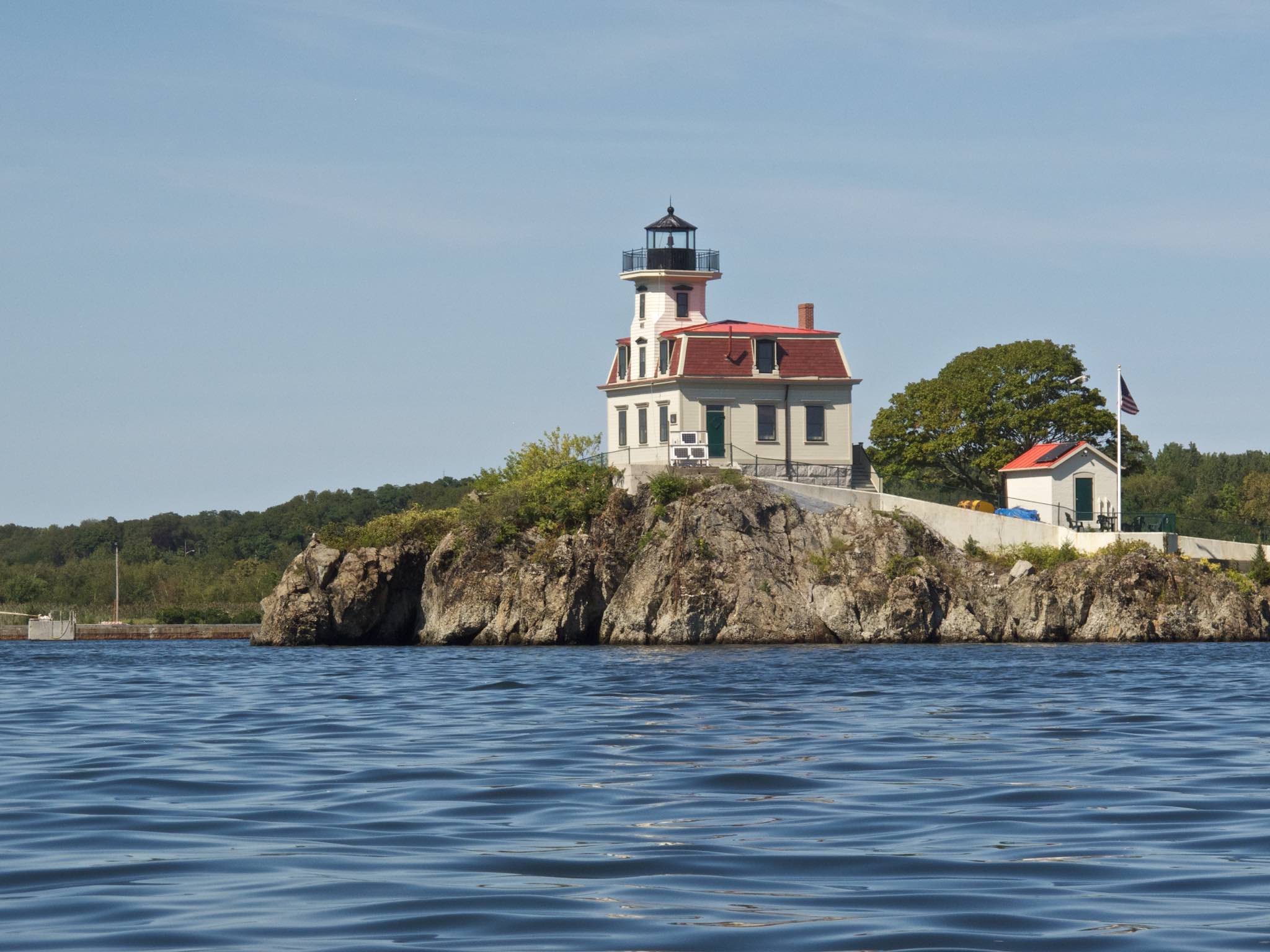
Pomham Light
As I got closer, I could see a number of details I hadn’t noticed from shore. I realized the lighthouse was painted a kind of buttery ochre color, not white, and that the corners of the tower had cool chamfers in them.
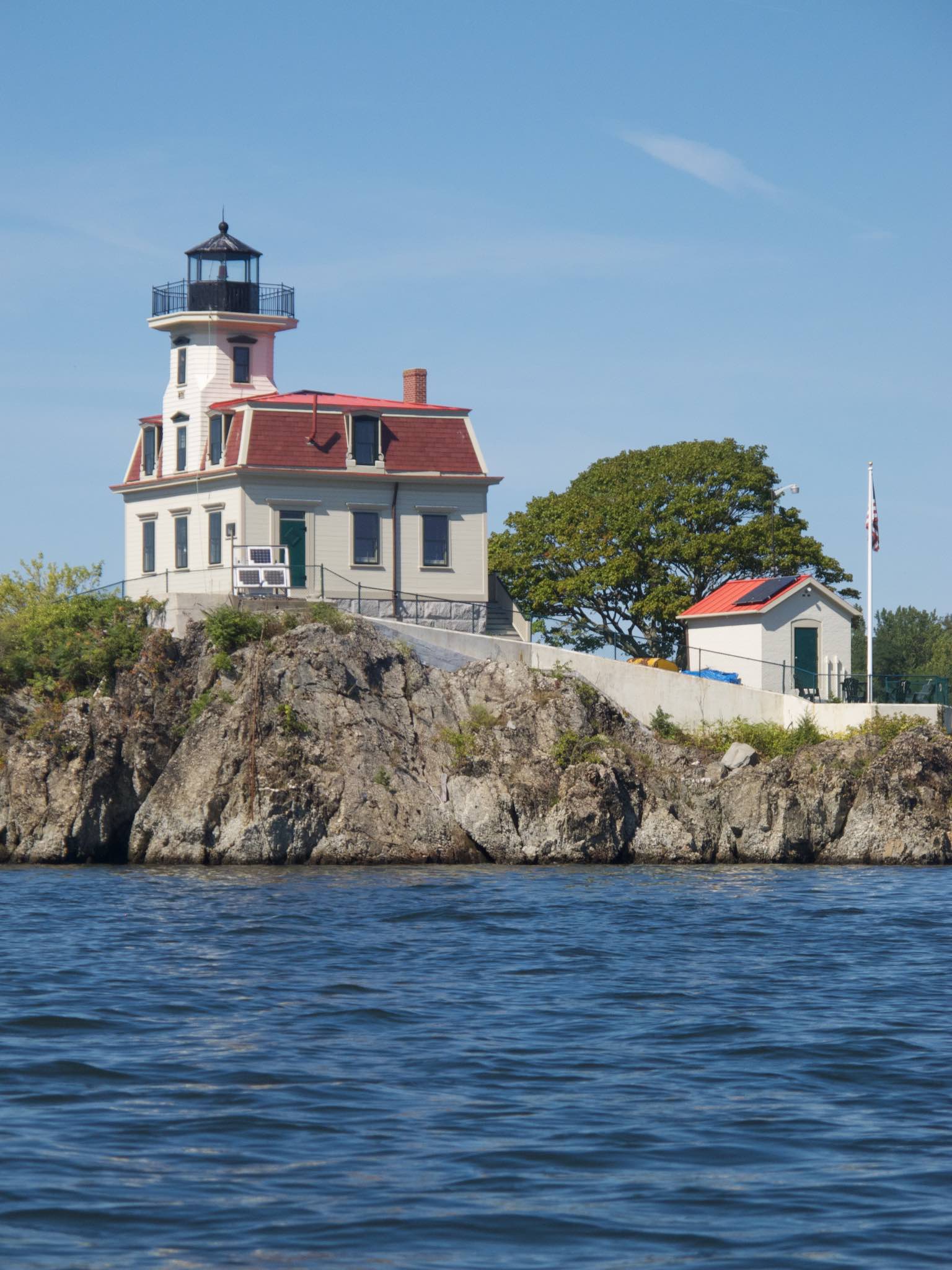
Note the chamfered corners of the tower
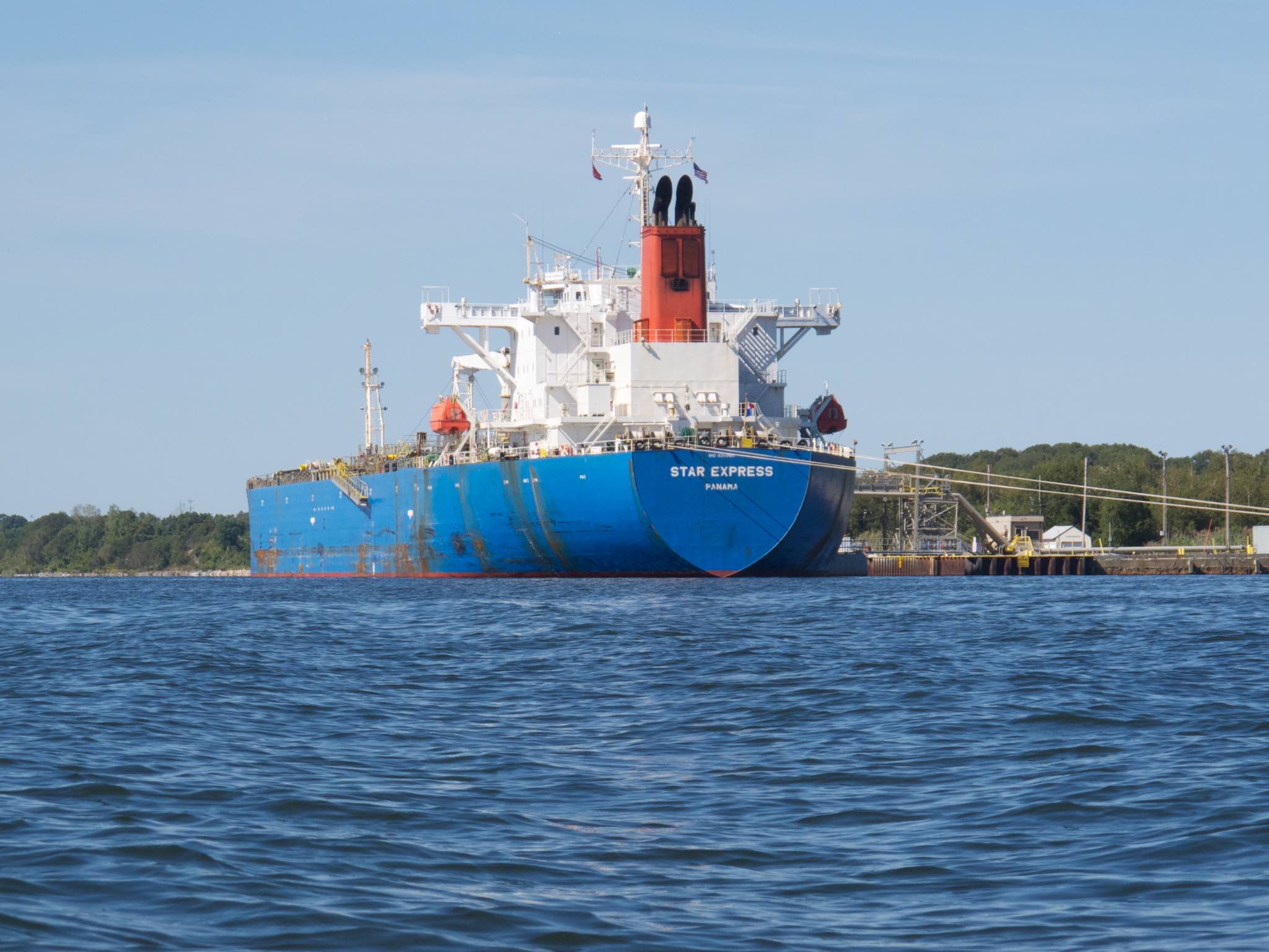
On the shore next to the lighthouse is a tanker terminal, and there was a ship tied up there.
 There is a second small island next to the outcrop with the lighthouse, and as I circled that, I came upon a bunch of cormorants.
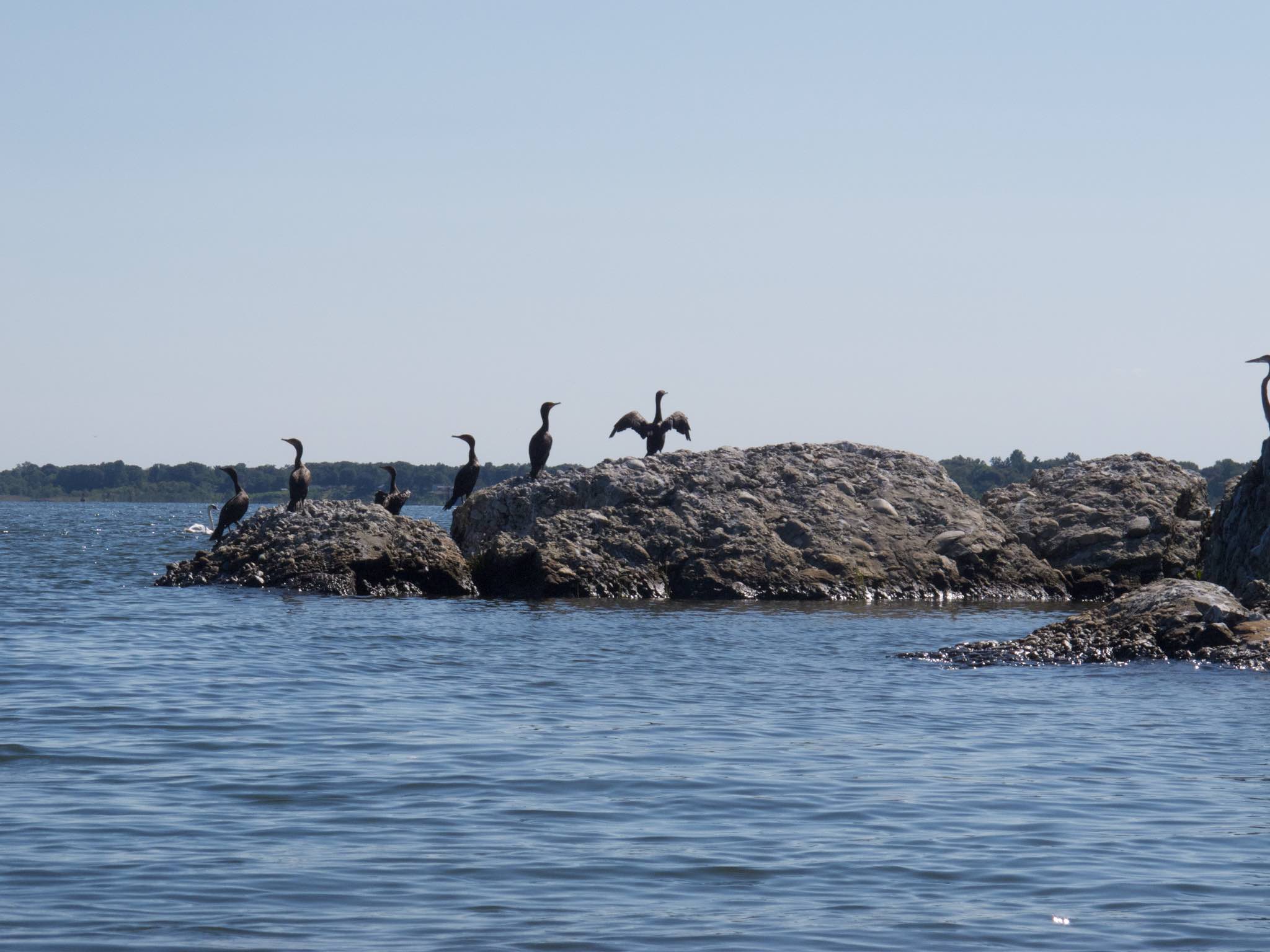 After circling both islets, it was time to head back. I’d just turned around when both feet, which were on the kayak’s footpads, shot forward about six inches. I went to try flipping up the rudder, and found the cords were loose, and the rudder was just dangling off the end. Fortunately, the rudder is a convenience, not a necessity, and I was able to paddle steer my way back.
As I headed back, the wind started to pick up, and by the time I was halfway between Sabin Point and the harbor, it started to get choppy. Even without the rudder, the boat handled it well, but I definitely started to pay closer attention to what I was doing. Happily, I finally made the harbor and got back to the landing.
Afterwards, looking at the rudder, it looks like the bolts holding the rudder simply came loose. I’d noticed some vibration last week, so they’ve probably been loose for a while. The rudder pintle prevented the bolts from dropping out, and they both still have the factory tapers on their ends, so I’m hoping I can simply bolt them back in.
POSTSCRIPT: I was able to refasten the rudder pretty easily, apart from momentarily losing a cotter pin after unpinning the wrong pin. Also a side note: while writing this post, auto-correct kept changing the name to “Pompom” Rocks.